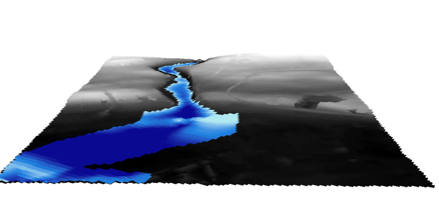
I want to visualize 2 raster (DEM) the first is for terrain elevation and the second is a dem of a flood. I want to modilise the elevation of the flood compared with the terrain elecation and I want to visulise them in cesium just like I did in Arcscene. Is there a way to that like converting them in 3d tiles or something.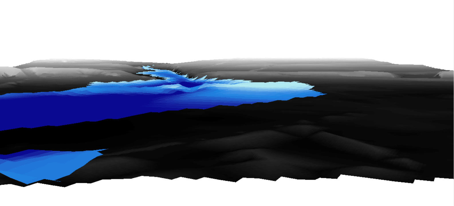

Question
Visualizing elevation of flood in Cesium


Login to the community
No account yet? Create an account
An FME Account is required to contribute
LoginEnter your E-mail address. We'll send you an e-mail with instructions to reset your password.