
Hi all,
I have been given a csv file containing a GeoSpan column representing line data. Any idea how I read this into FME and create the geometry from the GeoSpan?
Thanks
N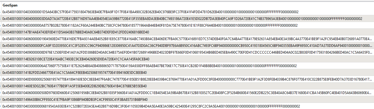


 +9
+9Hi all,
I have been given a csv file containing a GeoSpan column representing line data. Any idea how I read this into FME and create the geometry from the GeoSpan?
Thanks
N
No account yet? Create an account
Enter your E-mail address. We'll send you an e-mail with instructions to reset your password.

