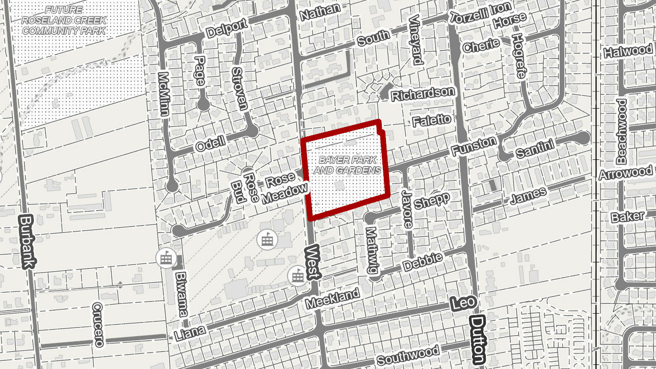
I need to use FME to generate .pdf & .jpg project location maps where the project boundaries are drawn in color and the rest of the map is in grey scale. An example output would be:

The issue I am encountering right off is that while FME can read in an ArcGIS Online map or ArcServer Map Service (REST), it doesn't appear that FME is able to read in all of the map symbology for the various layers that I hope to use as a basemap (I have all of the "additional attributes to expose" checked).
I had anticipated there being an issue with reading in text labeling, however I assumed that FME would read in all the layer symbology just fine. I tested this with a tiled web map as well and FME does not read in that symbology either.
I am hoping that I will only need to manually symbolize my project boundary layer in FME while FME automatically reads in the unique symbology for each of the basemap layers. Is there a way to do this?
I looked at an FME article on Creating PDF Cartographic Output and it is helpful in many areas of the process but it utilizes an aerial imagery raster file as the basemap, it does not deal with reading in a fully symbolized basemap. All of the other documentation I was able to find that incorporated reading in a symbolized basemap all seem to deal with pulling in that base map from a service such as Google or Bing Maps APIs.
I have enterprise licensing with Esri/ArcGIS (I don't have an API key for Google or Bing Maps), if I could pull the ESRI AGOL basemaps with symbology into FME that would get me what I need (for example: https://www.arcgis.com/home/item.html?id=8b3d38c0819547faa83f7b7aca80bd76)
An example of the basemap data I might like to read in is here:
https://santarosa.maps.arcgis.com/home/item.html?id=9013b1efcb714a87bde7193a3594069d
Thank you in advance.
(edited to add in example image, made reference to reading in Esri AGOL basemap )


