I have a csv file where the geometry is in LL-WGS84, but displayed into a single field like this: (lat, lon).
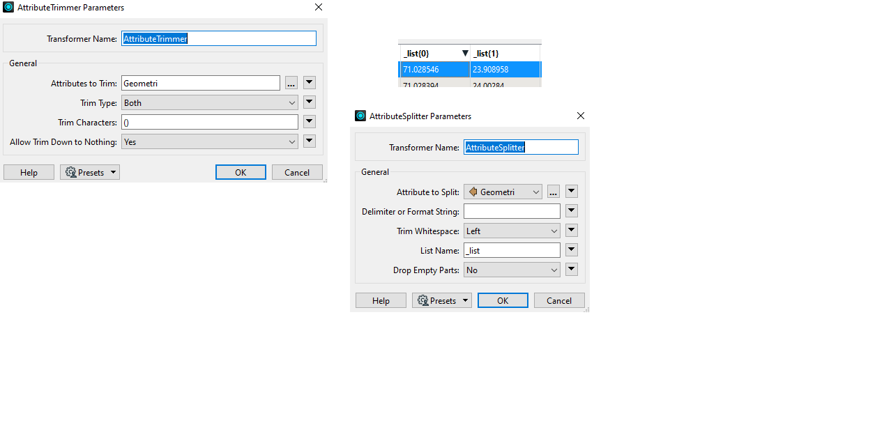
I am very new to FME, but I think I have managed to first use a attribute trimmer to get the parentheses out.
I then do a Attribute splitter, which sends the data into a _list. I send list{0} and _list{1} into a newly made latitude and longitude field for the geodb writer, but I get a lot of warnings saying
"FileGDB Writer: The `Longitude' attribute could not be written. The containing feature has been dropped
"
So latitude gets written, but not longitude, and I dont know why Anyone know what I am doin wrong?


