Hi @csunderman1 ,
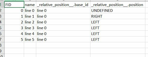
LeftRightSpatialCalculator, for each incoming feature into the "Base" port, builds a list of the incoming features into the "Candidate" port. If you route your dataset into both ports, you should get the relation of each feature with all the other features. See the attached workspace.
Hope that helps!
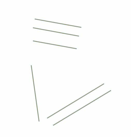
Thanks, yes this kind of works, one item i see is i have around 300k lines in total , so what i would hope the output would be a column with a Y/N on a L and R field if there is a single line within distance of lets say 500ft to the left or right for each line. When i ran the left right on five lines i ended up with 20 rows. i'm sure FME would prob work, but i am very new to fme and it's prob a complex workflow over my head at this time?
But thank you @davtorgh both times for taking the time to respond to a newbie question
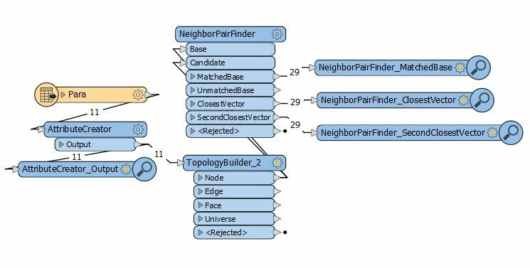
You can use the topology builder to get the end nodes and then use the pair finder to connect them. From there, you can use the connected lines by intersecting and seeing if line has 2 connections to the next line. If it does have 2 connection, it is parallel. Once the parallels are found, it is much easier to calculate the distance because you know its pair.
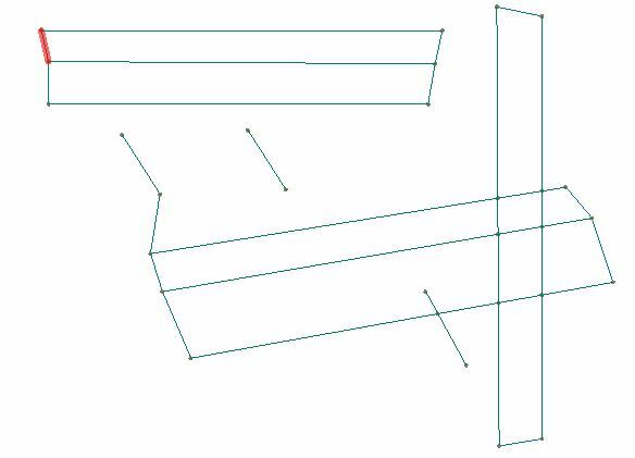
Example of connected lines. As you can see, the 3 lines at the top left all have 2 connections each meaning they are parallel. The lines below have 1 or 0 connection and aren't parallel. This also works on overlapping lines.
Hope this helps.