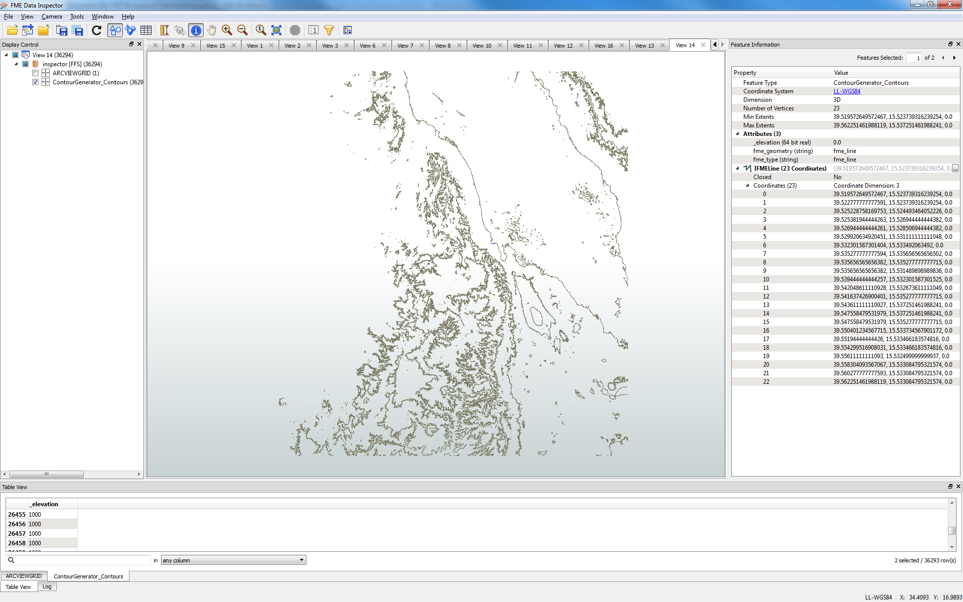
Is there any way in FME to extract polygon contours out of raster grid?
Using Professional Edition 64/32 on Windows 7 64bit

Is there any way in FME to extract polygon contours out of raster grid?
Using Professional Edition 64/32 on Windows 7 64bit
Best answer by gio
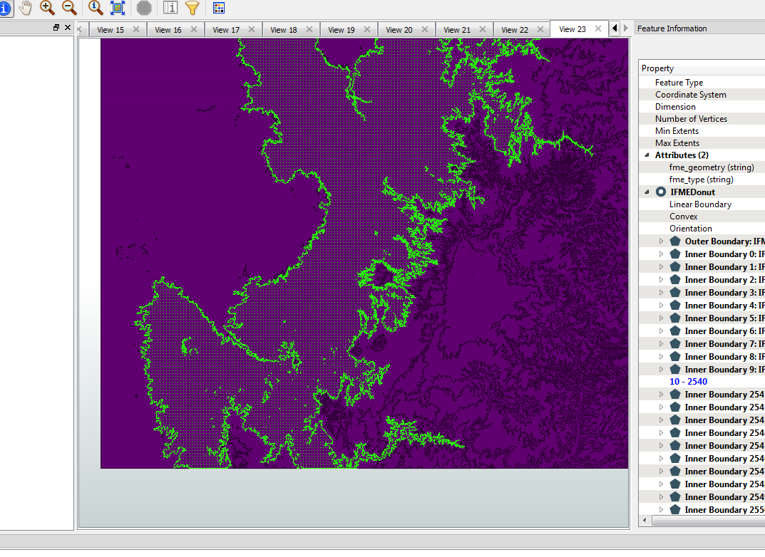
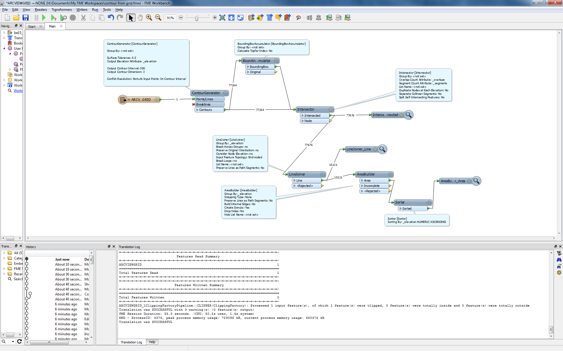
Joining in posted pic was not done with elevation. because you can not know if the boundary intersects contours with same elevation.
If you use elevation, you must at least use a higher contour density.
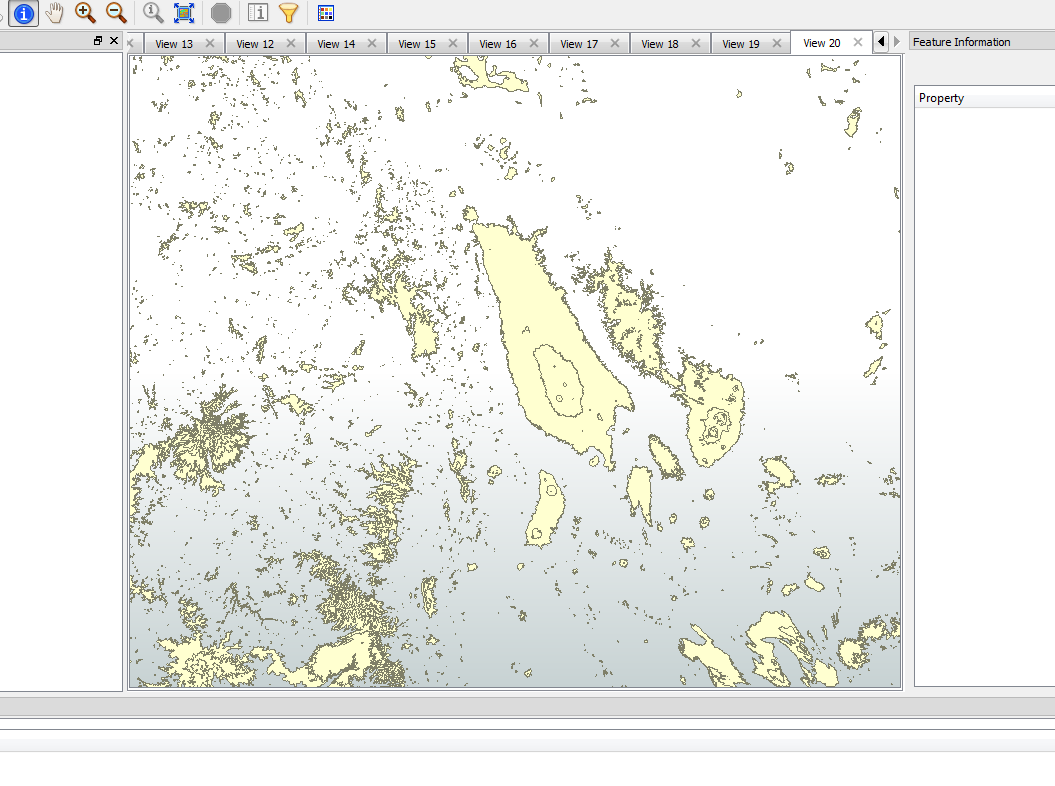
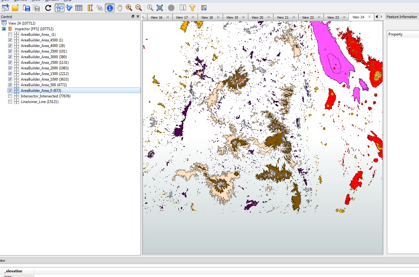
Here is same area with elavation as group by parameter. As you can see the result will not fully close. As the boundingboxboundary has no elevation of its own.
Data is sorted by elevation descending.
No account yet? Create an account
Enter your E-mail address. We'll send you an e-mail with instructions to reset your password.