Question

Export a localized point on a map with background

  • September 11, 2020
  • 2 replies
  • 47 views

Location_mapHello !

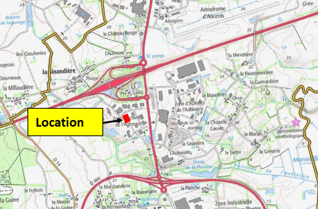
I would like to know if it is possible to have a mapping background on which is situated a localised point, as shown in image below ? I have more than a hundred located points and I need to generate automatically this kind of map in PDF format if possible, on which there shall be TEXT inserted such as title, XY cordinates and a jpeg photo.

Anyone could help me to create this workbench please?


Thanks in advance !


This post is closed to further activity.
It may be an old question, an answered question, an implemented idea, or a notification-only post.
Please check post dates before relying on any information in a question or answer.
For follow-up or related questions, please post a new question or idea.
If there is a genuine update to be made, please contact us and request that the post is reopened.

2 replies

Forum|alt.badge.img+1
  • September 11, 2020

Hi

You might want to look at this post. It is what you want if I understood correctly. Only the inputs are different, but it shouldn't be a problem.

Hope this helps

https://community.safe.com/s/article/creating-pdf-cartographic-output-2016?childToView=37456


  • Author
  • September 11, 2020

Hi

You might want to look at this post. It is what you want if I understood correctly. Only the inputs are different, but it shouldn't be a problem.

Hope this helps

https://community.safe.com/s/article/creating-pdf-cartographic-output-2016?childToView=37456

Hi !

Yes, it will definitely helps me !

Thanks a lot.