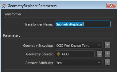
I have a CSV export from ORACLE with geometry in a format like POINT (-81.00893 33.9717480555556),
POLYGON ((-84.1769359565167 34.0427328929524, -84.1767072908479 34.0427328929618, -84.1767072908479 34.0430401524308, -84.1769359565167 34.0430401524308) etc. I cannot figure out how to extract the geometry and create layers in a geodatabase. I tried a few ideas with GeometryExtractor, GeometryReplacer, etc but I haven't had any luck. I attached the CSV for reference.


