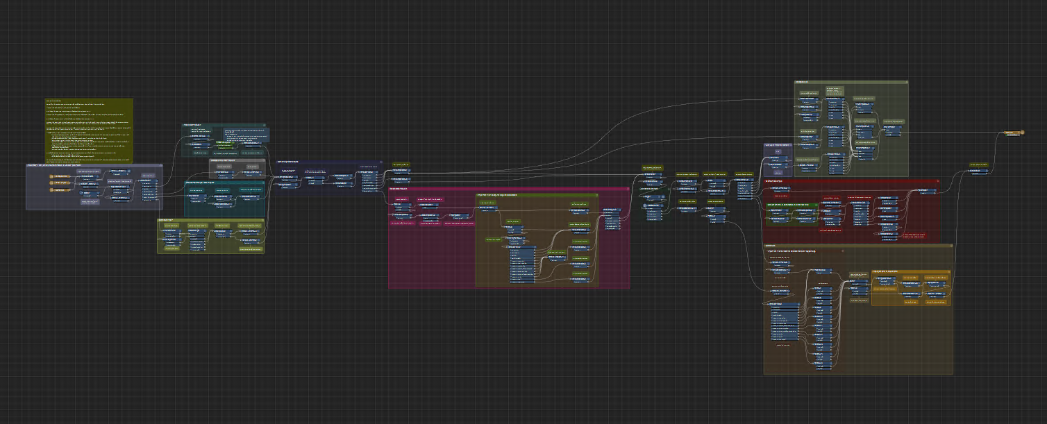
In short, yes, it is that complicated.
A few things to consider:
- FME is (broadly) a data conversion platform, here is my data, give it back to me in this other format
- For WFS, your input is the extent, version, layers and other metadata, the output is a formatted and structured WFS feed
- In terms of using the service, you can only respond to as many users as you have engines, if you have two engines, then only two users can get a response at a time. This could result in a pretty poor user experience if you have a lot of users.
A more robust and performant approach, albeit requiring other software, would be to have something like ArcGIS (on prem or AGOL) or GeoServer serve the data to the user
Thanks for that, hkingsbury<
https://urldefense.com/v3/__https:/community.safe.com/0054Q00000EwvQs?fromEmail=1&s1oid=00D30000000ePES&s1nid=0DB0c000000Gmzx&s1uid=0054Q00000EwxCW&s1ext=0&emkind=chatterCommentNotification&emtm=1699556595097__;!!Ou-zFulSALS7ubxZ2oj45Dg!U7DOk3bVGbs95R2p5Aj8emiJk0uJqSRe2YxIcdOQRIHWyPW2nA2SEkDEKj8JNA2k0BbW5wLawfffBhhJ60rvsup1-zEo$>.
Does anyone know of other WFS serving options (to add to ArxcGIS and GeoServer)?
Thanks,
Stuart
From a quick search (in no particular order)