Hi


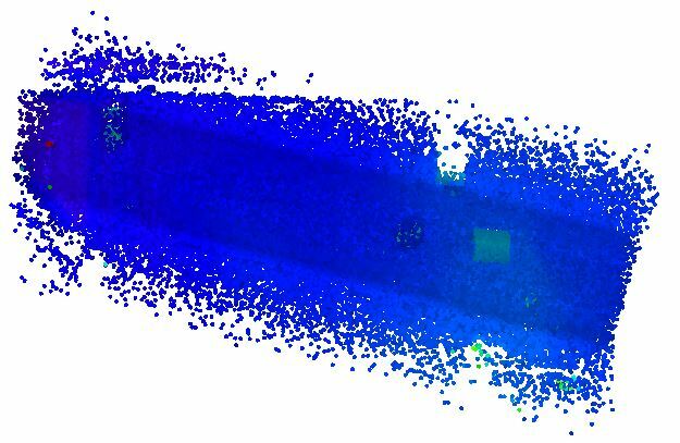
I would like to make boundries around my pointclouds.

That way I can see if all my pointclouds cover an area.


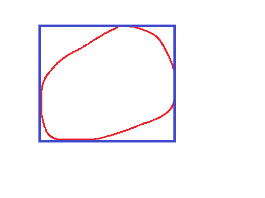
I only know hullaccumulator, but that only makes a bounding box.


See the picture below. I want the red boundry and not the blue one that hullaccumulator makes.
NaamloosI'm trying the pointcloudcoerser before the hullaccumulator, but I don't know if that works and it takes sooooo looong...


Is there a better way?


Try setting your point cloud coercer to single multipoint, then follow with a hull replacer


Try setting your point cloud coercer to single multipoint, then follow with a hull replacer

I'm using the single multipoint option.

It's running for more than half an hour and it's one third done. This is only the data of one flight.

I have 3 more afterwards.


Convert the point cloud to a raster, create a hillshade, resample, convert to polygons with a RasterCellCoercer, filter out the cells you don't need, dissolve, and then replace the hull. From there you can fine tune the boundary with a buffer to smooth and whatnot and remove any outlier points.


It's pretty quick; I did 10M points in 43 seconds on my very old machine. See attached .fmw.


Example cloud

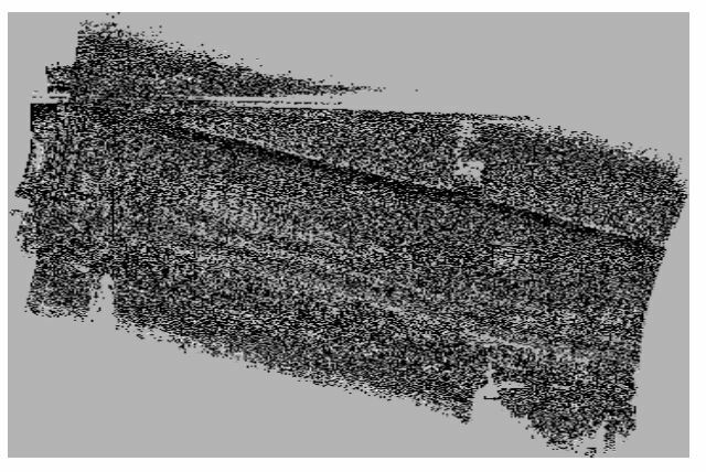
pointcloudHillshade


rasterHillshade converted to polygon, filtered, and dissolved.
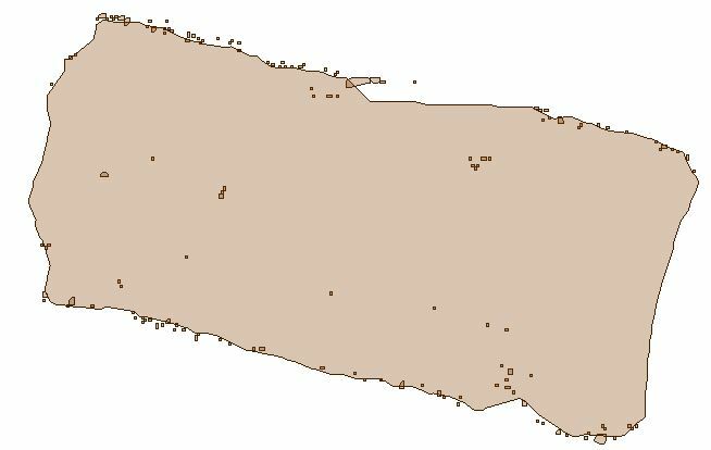
polygonPoint cloud overlaying the new polygon.
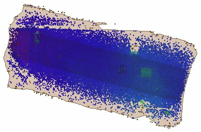
polyoverlay


Convert the point cloud to a raster, create a hillshade, resample, convert to polygons with a RasterCellCoercer, filter out the cells you don't need, dissolve, and then replace the hull. From there you can fine tune the boundary with a buffer to smooth and whatnot and remove any outlier points.


It's pretty quick; I did 10M points in 43 seconds on my very old machine. See attached .fmw.


Example cloud

pointcloudHillshade


rasterHillshade converted to polygon, filtered, and dissolved.

polygonPoint cloud overlaying the new polygon.

polyoverlay

I'm trying you workbench, but so far it still goes slow.

I have 3 flights with each +-45 las files.

Each las file is +- 80.000.000 points. So that 10800M points.


I'll let it run overnight.


THX for the input and the new insights.


I'm trying you workbench, but so far it still goes slow.

I have 3 flights with each +-45 las files.

Each las file is +- 80.000.000 points. So that 10800M points.


I'll let it run overnight.


THX for the input and the new insights.

If you haven't figured it out yet, adjust the resampler to meet your data. Larger pixels on the raster will create larger polygons and therefore will be faster to process because there are less of them. In most cases you really just need the rough outline so a larger size will work just as well as 20x more pixels.


Reply