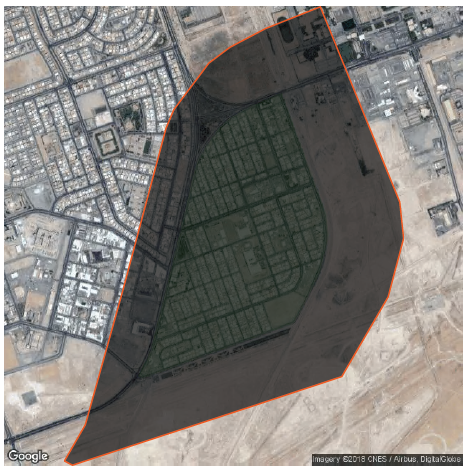
looking to write in pdf file a polygon with a raster image clipped to. they will be 2 views one closer view and second with fare view
Any suggestions

 +11
+11looking to write in pdf file a polygon with a raster image clipped to. they will be 2 views one closer view and second with fare view
Any suggestions
No account yet? Create an account
Enter your E-mail address. We'll send you an e-mail with instructions to reset your password.