
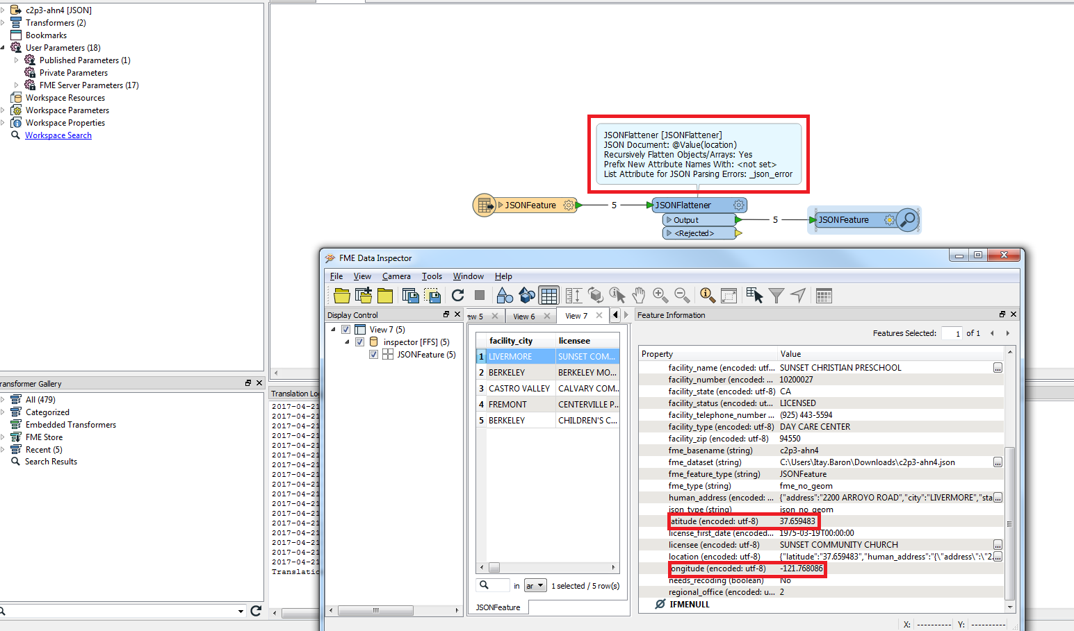
I spent most of today struggling trying to get a Socrata SODA API dataset to an ESRI file geodatabase. I am able to read the data using the text reader and this url as the source:https://chhs.data.ca.gov/resource/c2p3-ahn4.json?$where=county_name%20=%20%27ALAMEDA%27&$limit=5


This is valid JSON according to JSON lint, but no geometry is recognized because it isn't in a GEOJSON format. I have tried using the JSONFragmenter/JSONExtractor/JSONUpdater transformation tools but just can't get the hang of it.


I am using the Data Interoperability extension for ArcGIS. Any help is appreciated.


Hi @locontem,

I wonder how did you use the JSONFlattener? by reading the json with the JSON (JavaScript Object Notation) reader and flatenning the location attribute you can get the lat and long values.

Create with FME 2016.1

Hope this helps.


Hi @locontem,

I wonder how did you use the JSONFlattener? by reading the json with the JSON (JavaScript Object Notation) reader and flatenning the location attribute you can get the lat and long values.

Create with FME 2016.1

Hope this helps.

Although I think at one point during my trials yesterday I did have the JSONFlattener set up the way your screenshot shows, I definitely had no clue on how to use the inspector to view the results. I am pretty green when it comes to workbench. I think I had several issues compounding one another. A day of rest and your screenshot has put me back on track, I added a vertex creator and am now able to write it out to a point feature class in an ESRI File Geodatabase. Thank you very much!


Although I think at one point during my trials yesterday I did have the JSONFlattener set up the way your screenshot shows, I definitely had no clue on how to use the inspector to view the results. I am pretty green when it comes to workbench. I think I had several issues compounding one another. A day of rest and your screenshot has put me back on track, I added a vertex creator and am now able to write it out to a point feature class in an ESRI File Geodatabase. Thank you very much!


Glad I could help, you mention API in the title so for your information you could probably connet to it directly using the httpcaller and also FME can read directly from a URL so using the one you provided, you should be able to just paste into the reader as the source dataset and don't bother downloading it first.


Reply