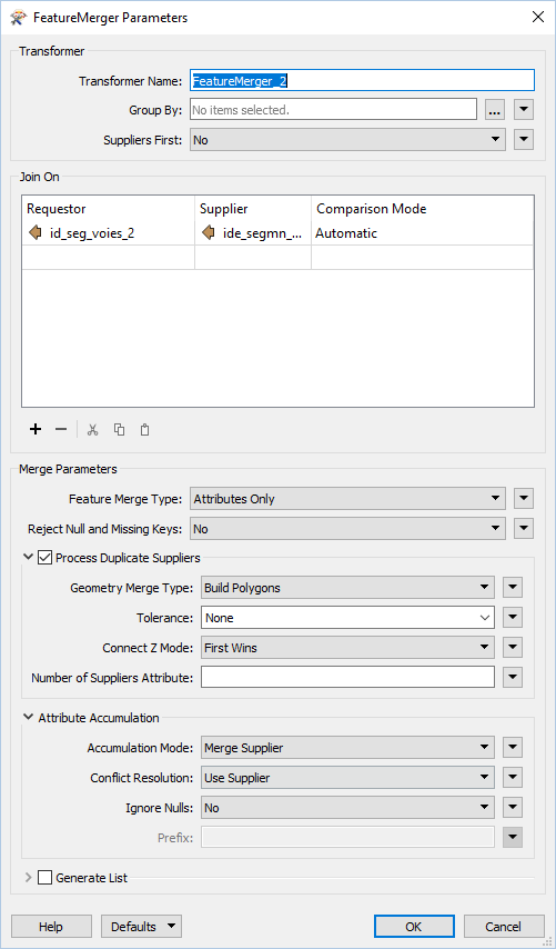
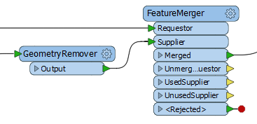
So I'm having a bit of an issue using the fme postgis reader/writer combo. I have a big model that works perfectly using shapefiles (with some adaptations) or using esri gdb. The thing is that I'm trying to only use postgis as entry files and output files. The entry files arepolylines and the output files are polygons. The issue is with the ouput. The input of polylines from postgis seams to affect the ouput.
1. Shapefile reader: No problem
2. .gdb reader: No problem
3. postgis reader: polygons are converted to polylines
A few things to note:
1. When using the postgis reader I can still write the polygons in a shapefile
2. When using a shapefile or a gdb as input I can write the polygons in postgis format.
The issue to me seems that the spatial column is carried out from the entry data and I don't know how to get it to a blank slate.
Sorry for my bad english.


