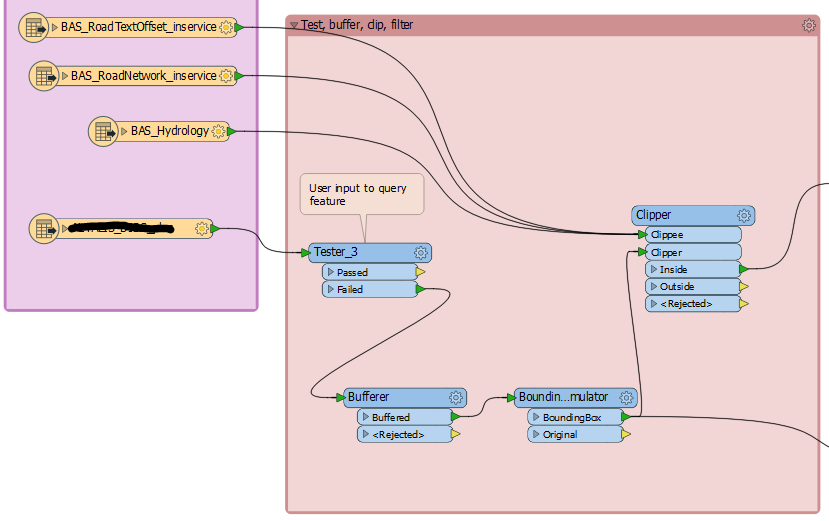
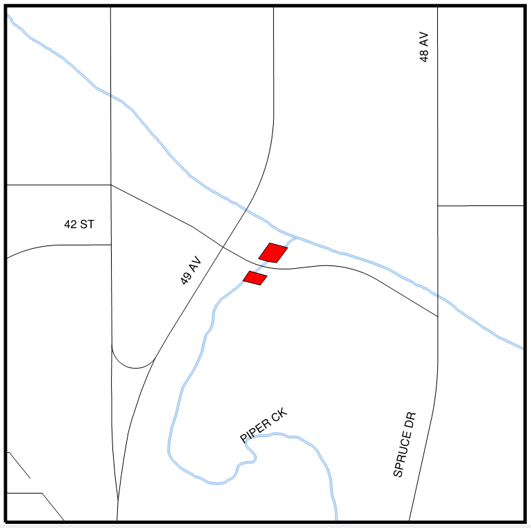
I have created a workspace based on https://community.safe.com/s/article/creating-pdf-cartographic-outputthat outputs a simple PDF. Users can input a specific attribute (via a published parameter) and query out this feature, buffer around it and the output map is centered around this feature. Background data such as hydrology, roads and text are clipped to a bounding box from the buffer and displayed to give context to the location of the queried feature.

This works very well when there is only one feature as it produces a simple map zoomed to a suitable scale showing the queried feature and the surrounding background data.

I would like to modify this workspace to run multiple queried features through it and produce multiple PDFs showing one queried feature per page along with its background data. I'm not sure how to achieve this. Should I be looking to use a data fanout? Or would a loop work? Any help I can get would be most appreciated.


