Question

Optimizing i3s (slpk) LOD


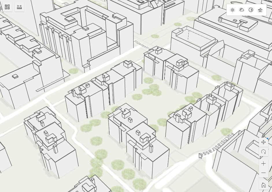
I'm converting 3D data from Postgres to an Esri Indexed 3D Scene Layer (slpk). I'm converting this to an i3s service on Azure (not ArcGIS Online). When loading this as an external layer in ArcGIS Online, the LOD seems totally random, buildings are being visualised but not the way I'd like to see (not based on distance). Is there a way of optimizing this in FME?

15 replies

daraghatsafe
Forum|alt.badge.img

Hi @bramvr​ thank you for posting your question here. Could you share some further info about the issue, when you say that the building are not being visualized in the manner that you would like, do you mean they are missing detail? If you could share some screenshots that would be very helpful also. Thanks


  • Author
  • September 6, 2022

Hi, first of all my apologies for my late reply. I've been in contact with Esri about this question as well and I've tried to get some extra information. Then the holidays came along and this slipped my mind.


I've attached a screenshot of the behaviour I see. I've created two i3s layers, one based on an slpk created by ArcGIS Pro, the other one is created by/in FME desktop. Both slpk files have been converted to i3s-layers in the same way, hosted on Azure. In the screenshot you'll see two images, the top one is the export of the slpk in ArcGIS Pro, the bottom one done with FME. As you can see, the position where I've taken the screenshot is identical. The bottom screenshot is showing considerably less buildings. The only difference in output I've found is that in the slpk of FME, the statistics are missing. My contact from Esri thinks this is most likely because of the way the slpk is created concerning LOD's and statistics.


As far as I can see, there are no options to change this in FME, is that correct? And does this mean the slpk format has not been built in properly? Or am I wrong to assume this should be built in the slpk format?


Thanks!


davidrasner5
Contributor
Forum|alt.badge.img+4
  • Contributor
  • September 27, 2022
daraghatsafe wrote:

Hi @bramvr​ thank you for posting your question here. Could you share some further info about the issue, when you say that the building are not being visualized in the manner that you would like, do you mean they are missing detail? If you could share some screenshots that would be very helpful also. Thanks

I can confirm this and would really appreaciate if you guys could investigate this further.


There is a big difference between i3s files from FME and Arcgis Pro.


Files from FME kind of flicker when you move the camera. Like this:

l128LynyoYFiles exported from Arcgis DO NOT.

To me it suggest missing, or incorrect LOD definitions.


davidrasner5
Contributor
Forum|alt.badge.img+4
  • Contributor
  • September 27, 2022

This topic has been bugging me for a while now. I have to export i3s using the ESRI Python API. Can't do it with FME because of the mentioned LOD issues.


Here's a zip file with different exports. ArcGIS i3s, vs. FME:


  • Author
  • September 29, 2022
davidrasner5 wrote:

I can confirm this and would really appreaciate if you guys could investigate this further.


There is a big difference between i3s files from FME and Arcgis Pro.


Files from FME kind of flicker when you move the camera. Like this:

l128LynyoYFiles exported from Arcgis DO NOT.

To me it suggest missing, or incorrect LOD definitions.

That's exactly the behaviour I'm seeing. Thanks for confirming this. Hopefully this will be picked up soon!


deanatsafe
Safer
Forum|alt.badge.img+6
  • Safer
  • October 13, 2022

@bramvr Thanks for your feedback on I3S writing. This problem with LODs is a known issue with our I3S writing and based on user feedback such as yours we have made it a priority to address this. While there is no quick fix, we have a development work package that we have set up to address this and other enhancements for our I3S output (buildings support etc). Work will be starting on this shortly and we will post an update here when it is available for testing in a beta.


Forum|alt.badge.img
davidrasner5 wrote:

This topic has been bugging me for a while now. I have to export i3s using the ESRI Python API. Can't do it with FME because of the mentioned LOD issues.


Here's a zip file with different exports. ArcGIS i3s, vs. FME:


I am using the tool CityGMLtoi3s to Convert the citygml into slpk but I am still facing the issue of missing statistics and flickering seen. Do you know what could be the reason for that?


I tried your file and it was working fine so I am assuming it's my conversion causing the issue


nampreetatsafe
Safer
Forum|alt.badge.img+12
marwaalfouly wrote:

I am using the tool CityGMLtoi3s to Convert the citygml into slpk but I am still facing the issue of missing statistics and flickering seen. Do you know what could be the reason for that?


I tried your file and it was working fine so I am assuming it's my conversion causing the issue

@marwaalfouly​: It looks like you ran into a known issue. Sorry you ran into this. Ersi introduced the requirement for i3s files to have a statistical information for proper usage. FME doesn't generate this and by the previous standard it was optional. We have adevelopment ticket (internal reference FMEENGINE-74445) currently in progress to help address this. We'll try providing an update on this thread once it has been addressed. Thanks for your patience!


Forum|alt.badge.img
davidrasner5 wrote:

This topic has been bugging me for a while now. I have to export i3s using the ESRI Python API. Can't do it with FME because of the mentioned LOD issues.


Here's a zip file with different exports. ArcGIS i3s, vs. FME:


@davidrasner5​ would you please explain a bit your how did you do it with ESRI Python API. Thank you


hrinn
Contributor
Forum|alt.badge.img+4
  • Contributor
  • September 15, 2023
marwaalfouly wrote:

I am using the tool CityGMLtoi3s to Convert the citygml into slpk but I am still facing the issue of missing statistics and flickering seen. Do you know what could be the reason for that?


I tried your file and it was working fine so I am assuming it's my conversion causing the issue

Thanks! The same thing occurs even when you run it through https://github.com/Esri/i3s-spec/tree/master from ESRI....

It would be a massive time saver to skip the ArcGIS part when publishing BIM data


daveatsafe
Safer
Forum|alt.badge.img+19
  • Safer
  • March 1, 2024

The I3S writer in the latest FME 2024 beta build includes the Statistics, allowing the I3S files to be read correctly in ArcGIS Pro. You can download the latest FME 2024 from safe.com/beta.


hrizz
Contributor
Forum|alt.badge.img+3
  • Contributor
  • November 19, 2024

Im still getting the LOD issues with objects disappearing at different zoom levels. I am m using FME 2024.2.

Is the new I3S writer implemented yet?


evieatsafe
Safer
  • Safer
  • November 23, 2024

Hi ​@hrizz looks like the issue about missing statistics has been released for 2024.0. Are you still experiencing the missing statistics message? Or are you only experiencing the objects flickering/disappearing? I believe this might be a separate issue at this stage, let us know.


johannafalk1
Contributor
Forum|alt.badge.img+7
  • Contributor
  • February 11, 2025

Hi ​@evieatsafe,

I also have issues rendering my SLPK Files when using the I3S writer. (FME Form 2024.2). 

The issue about the missing statistics has been resolved - I don’t get the error message anymore when opening the file in ArcGIS Pro.

However the rendering is so much worse compared to the SLPK I generated using ArcGIS Pro directly. Is it still recommended to use the workaround using ArcPy? 


vince_j
Contributor
Forum|alt.badge.img+3
  • Contributor
  • April 14, 2025

Hi all,

So the Writer documentation mentions:

All features will be placed into tiles at the lowest level of the tree. Viewers will render these tiles when the scene view is zoomed in close to the features. Tiles at higher levels in the pyramid will be populated with a sampling of features present in the lower levels. This allows viewers to display a subset of the dataset when the view is zoomed out.

This could be the reason for the flickering of features that people are experiencing, including me. It is especially bad (unworkably bad) when working with small features, like rail asset data. See the attached image (red = i3s format created by FME, black = slpk by ArcGIS Pro).

I am looking for a method to update the tree levels of i3s scene layer packages, meaning that I want to populate a ‘higher’ tree level with all features, and having all features loaded at a higher zoom level. 

This method doesn't need to be in FME, but it would be very usefull if the i3s Writer would be updated with a parameter that would allow the user to choose which level of the i3s tree wil be the lowest level. 


Does anyone have an idea as to whether this is possible in the first place and if so, how can this be arranged?

I have a strong feeling that it is possible, since Esri's own i3s examples of New York look very promising. In this example, all buildings are preloaded at the highest tree level, but once you zoom in (entering lower tree levels), the buildings get defined more precisely. This is exactly the i3s use that I am looking for.

Hope to hear from you fellow i3s users! 

Best,

Vince


Cookie policy

We use cookies to enhance and personalize your experience. If you accept you agree to our full cookie policy. Learn more about our cookies.

 
Cookie settings