When I write to AGOL I get the following error message:
|ERROR |Attribute(64 bit real) : `Company_Material_Unknown' has value `1312'
I’ve tried various data type for both the writer and the attribute manager before the writer. Nothing works. I have another AGOL writer in another place in the FMW (different data stream) and it works fine.
Page 1 / 1
What is the type for that field in the destination dataset?
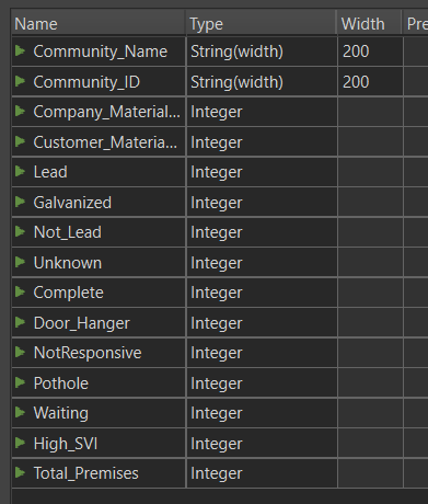
For text fields I’ve have String(width). For all other fields I’ve tried Integer, Double, and String(width).
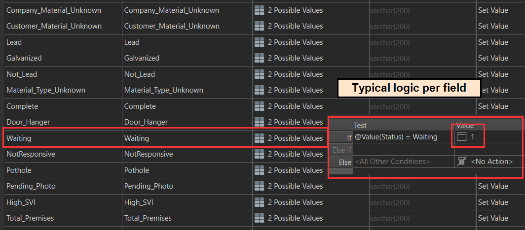
Here is an AttributeManger that performs a pivot of the data. It is upstream from the Writer.
Are you able to upload your entire log? I suspect there are some other key entries in there that will help narrow down the cause
I’m currently running a length FMW but will get this to you as soon as it is finished.
124 Errors, 2 Warnings.
Looks like an error about a coordinate system missing. If you set that correctly using a CoordinateSystemSetter, does it work?
2024-02-20 14:31:50| 46.3| 0.0|ERROR |ArcGIS Online Feature Service Writer: Encountered a feature without a coordinate system. All features being written must have a coordinate system
2024-02-20 14:31:50| 46.3| 0.0|ERROR |Python Exception <FeatureMissingCoordinateSystem>: FMEException: 926858: ArcGIS Online Feature Service Writer: Encountered a feature without a coordinate system. All features being written must have a coordinate system
124 Errors, 2 Warnings.
Looks like an error about a coordinate system missing. If you set that correctly using a CoordinateSystemSetter, does it work?
2024-02-20 14:31:50| 46.3| 0.0|ERROR |ArcGIS Online Feature Service Writer: Encountered a feature without a coordinate system. All features being written must have a coordinate system 2024-02-20 14:31:50| 46.3| 0.0|ERROR |Python Exception <FeatureMissingCoordinateSystem>: FMEException: 926858: ArcGIS Online Feature Service Writer: Encountered a feature without a coordinate system. All features being written must have a coordinate system
Yes, I’d be inclined to think this is the primary issue
That worked!!! Thanks so much!!
I’m interested why there is this problem because I’m writing this data as a non-spatial (no geometry) table. I would have probably never thought of a coordinate system although it is right there in the log file.
This is the Coordinate System of the spatial data within the FMW:
By manually selecting a CS I found this one which I’m not real sure about. Although, since this is a non-spatial perhaps it does not matter.
Would the CoordinateSystemExtractor give me the CS I could assign with the CoordinateSystemSetter?