
Hi everyone. I am reading data from an Esri Geodatabase. I have an issue with the Shape area reading as negative values.


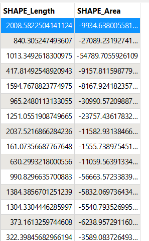
I have tried the geometry validator with Area Orientation set to “right” as with “Allow Left” and “Check doughnuts only” does not deliver any repair results.


After the feometry validation, my repaired results still contain the negative area values. 

Negative values after geometry validator

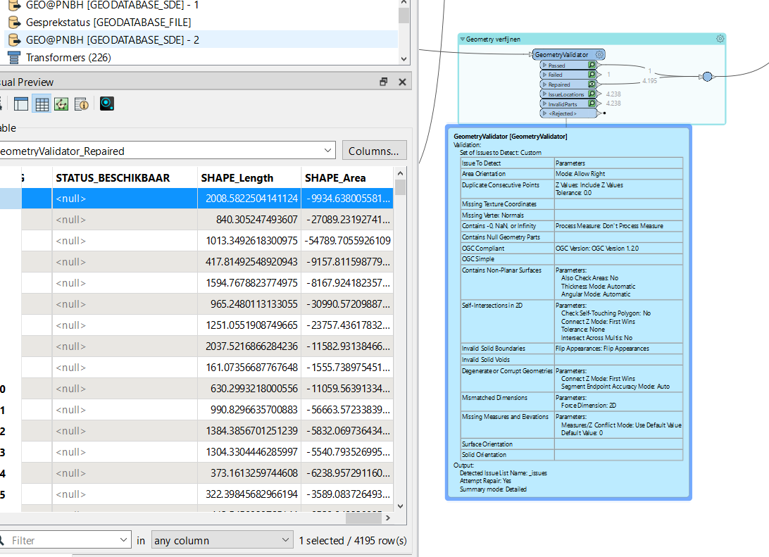
Is there another way of solving this, I know the issue can be resolved in ArcMap wit geometry repair is there a similar way of doing this with FME?

I think the issue is fixed with the GeometryValidator. The field SHAPE_Area is a static field with values read as they were originally. If you want to know the area, you can use the AreaCalculator. If you write this to a FeatureClass in a GeoDatabase, my guess is that the field SHAPE_Area is correct, as it is a dynamic field in a file geodatabase.


Here’s some Esri help documentation on it - https://support.esri.com/en-us/knowledge-base/shapefile-polygons-have-negative-areas-or-label-incorre-000009019
https://support.esri.com/en-us/knowledge-base/why-does-the-calculate-geometry-tool-return-negative-va-000012491

Looks like it can be fixed via the ‘Repair Geometry’ tool in Esri. The GeometryValidator with repairing will also likely be able to resolve it


If you were confident in the SHAPE_Area values being correct (other than the negative sign), and you wanted to simply change the sign of the values from negative to positive, then you could use the absolute value math function in an AttributeManager or perhaps just remove the negative sign using a StringReplacer. Though if the SHAPE_Area field has completely erroneous values, then I would 2nd @nielsgerrits response.


Reply