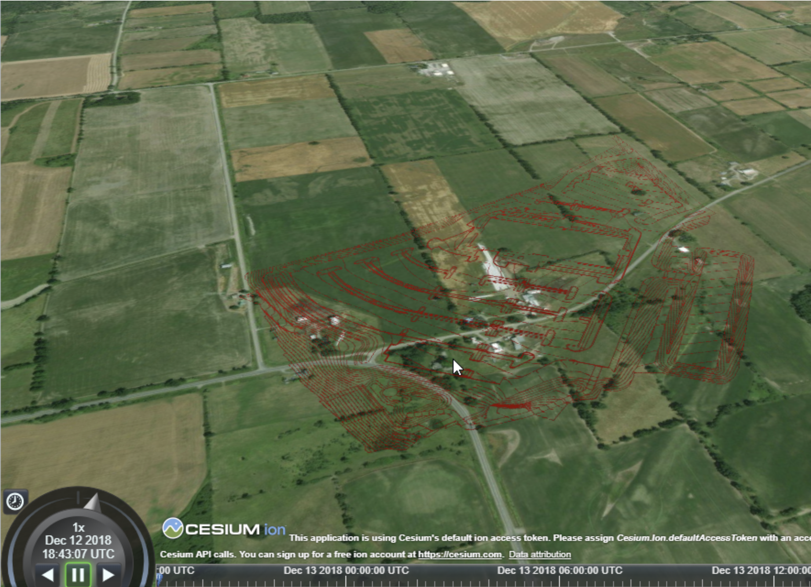
Hello.
I'm trying to convert Land XML to 3D Tiles and running into some problems. I've tried both Cesium ION Connector and Cesium 3D tile writer, and an EsriReprojector to convert state plane coordinates to WGS 84 .
Both complete the conversion without errors in FME. However, each method has some additional issues.
Using the 3D Tile writer, I use a Land XML Reader, to EsriReprojector, and directly to 3D Tile writer (do not use ION connector). I cannot see the3D Tiles in Cesium. I do not get any errors in Cesium and Cesium viewer is successfully loading the tiles.
I've also tried LandXML, to CityGML, to 3D Tile Writer, but that does not create a data Directry. Creates the tileset.json file though.
Using the Cesium ION Connector, I followed this example:
https://knowledge.safe.com/articles/81161/uploading-assets-to-cesium-ion.html
I converted the Land XML to CityGML, then push that to the Cesium ION connector. When I go to the Cesium ION account assets, an error is displayed about this asset instructing me to contact Cesium. Found out the error was caused by ION tiler not supporting LineStringSegment.
Are both of these issues caused by LineStringSegments? So in the case of using the 3D Tile writer, is FME interpreting the polylines as LIneStringSegments? If so, how do I specify the CityGML writer to not use LineStringSegments and just use polylines?
If this isn't the case, what am I doing wrong here?


