Question

ImageFetcher from WMS results in white background


Forum|alt.badge.img

Hello,

I'm currently working on the following case. We need to generate a report in Word (using MSWord reader). This report will include a picture based on selected features from an ESRI FileGeodatabase. As background to these features we want to add some topology (from a WMS).

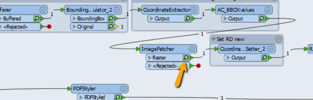
A colleague suggested the ImageFetcher transformer to me to get the image from the WMS.

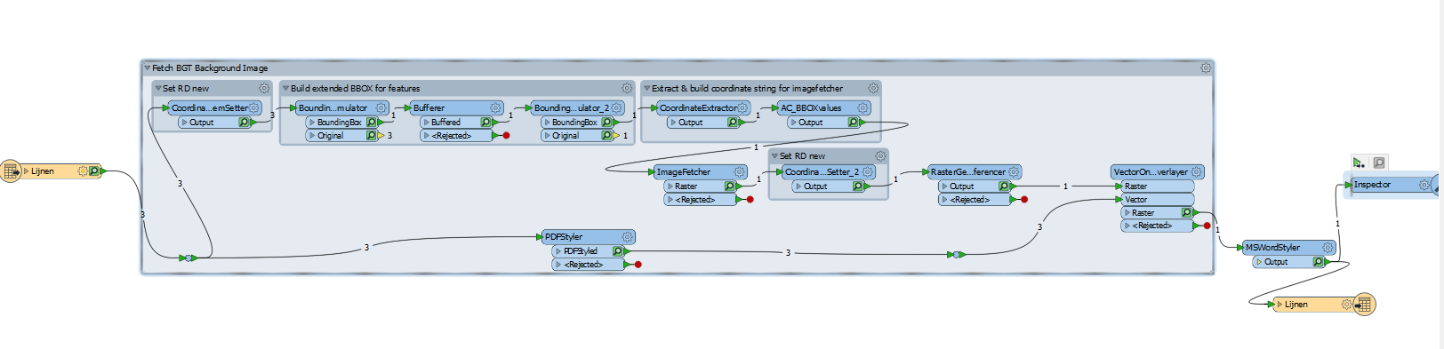
I'm able to run it without errors, but the end result is the selected features (in this case three lines) on a white background.

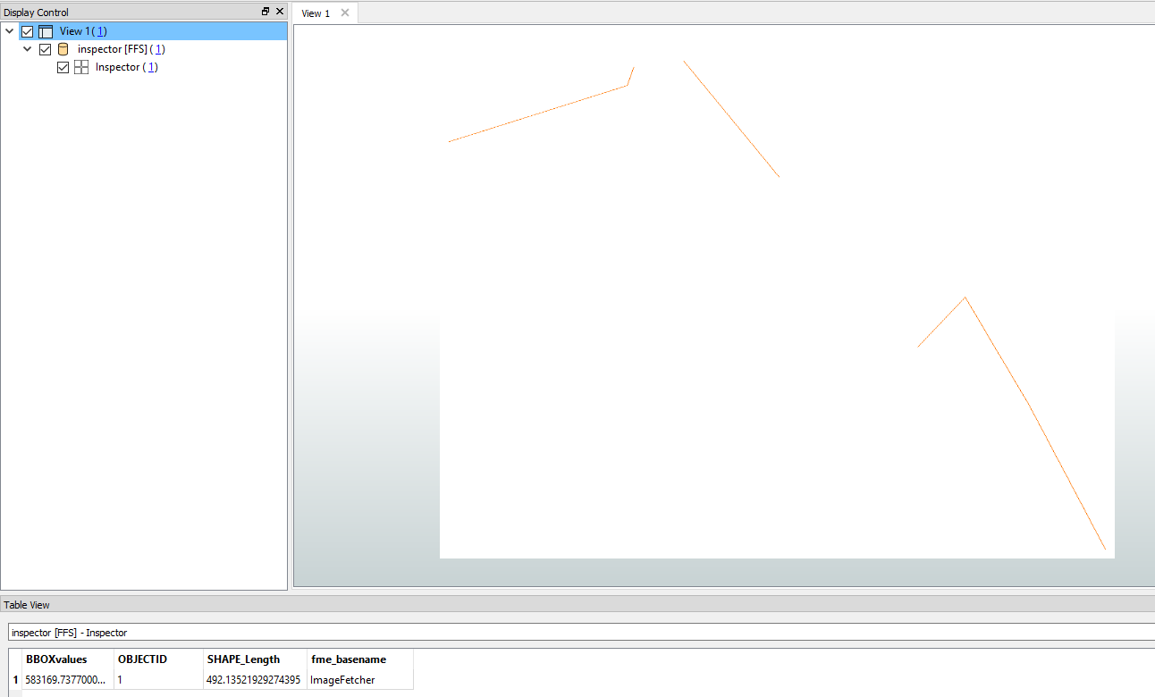
Does anyone have an idea what could go wrong here? I've tried various other WMS links (from different organisations) to verify if there might be a fault in the WMS, but all of them give the same white background as a result.

I'm using FME 2018.1.2.0, build 18590

4 replies

xiaomengatsafe
Safer
Forum|alt.badge.img+3

Hi @jeroens, I'm not very sure where the issue is, but if you click on the little green magnifying glass icon on each transformer port, you'll be able to see the result of that transformer at each step. So, to help you narrow down where the issue occurred, you can start by looking at the result of the ImageFetcher, to see whether the image you grabbed is read in as expected. And if that's not the problem, you can look at results of each subsequent transformer, and see where it got changed.

Hope this helps a little.


Forum|alt.badge.img
  • Author
  • April 26, 2019

Hi @xiaomengatsafe, thank you for your reply. I finally figured out why I was getting a white screen. The problem was in the input data. It was placed outside of the extent of the WMS we used. So kind of logical that there wasn't any topography to display there. Thanks for your reply, it got me digging around more in the settings and that's how I found it.


xiaomengatsafe
Safer
Forum|alt.badge.img+3
jeroens wrote:

Hi @xiaomengatsafe, thank you for your reply. I finally figured out why I was getting a white screen. The problem was in the input data. It was placed outside of the extent of the WMS we used. So kind of logical that there wasn't any topography to display there. Thanks for your reply, it got me digging around more in the settings and that's how I found it.


Hi @jeroens, That's great to hear. Glad you found the problem. Thanks for letting us know!


  • April 26, 2019

Hello, jeroens! Did you try xiaomengatsafe's tip already?


Cookie policy

We use cookies to enhance and personalize your experience. If you accept you agree to our full cookie policy. Learn more about our cookies.

 
Cookie settings