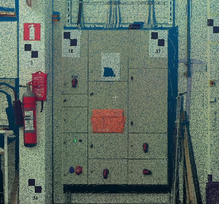
point cloud screen shot.
Geotiff infrared image of an electrical board.
point cloud screen shot.
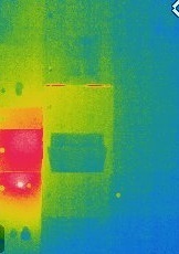
Geotiff infrared image of an electrical board.
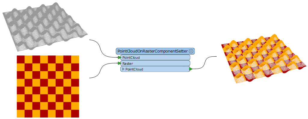
Hi @gnawali66, I think you can use the PointCloudOnRasterComponentSetter (Component to Set: Color).
Hi takashi,
Sorry for bothering you every now and then. I have tried same way as you suggested but i couldnt print the color on point cloud. Please have a look at attached files, how can i solve this error? Thank you @takashi
Hi takashi,
Sorry for bothering you every now and then. I have tried same way as you suggested but i couldnt print the color on point cloud. Please have a look at attached files, how can i solve this error? Thank you @takashi
cartesianX,x,cartesianY,y,cartesianZ,z,colorRed,color_red,colorGreen,color_green,colorBlue,color_blue
See also here to learn about component mapping in E57: ASTM E57 Reader/Writer | Point Cloud
Hi takashi,
I had this setting as well but i cant extract color from raster. I tried with writer format LAS but did not find the solution. Should i use any additional transformation to get color from Geotiff image? Since point cloud file has its own coordinate and i geo-referenced tiff file based on those coordinate, so TIFF file doesn't have Z co-ordinate. I am hoping to get help from you! Thanks a lot @takashi for your valuable time.
You can use the CoordinateSwapper (or the PointCloudComponentRenamer) to swap y and z, before and after coloring.