Hello,
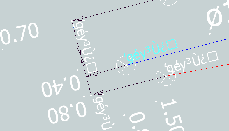
I have a Microstation drawing with dimensions. However, a part of the dimensions is being converted to a weird output when inspecting it with FME and also when writing it to a PostGIS database.
Below is a screenshot of the issue. Does anyone have an idea what is causing this and more importantly, how to fix it? As you can see, only a part of the dimension is displayed in strange characters.
The source file does not have these weird characters.

If anyone has any idea's or tips, please let me know!
Thanks in advance!


