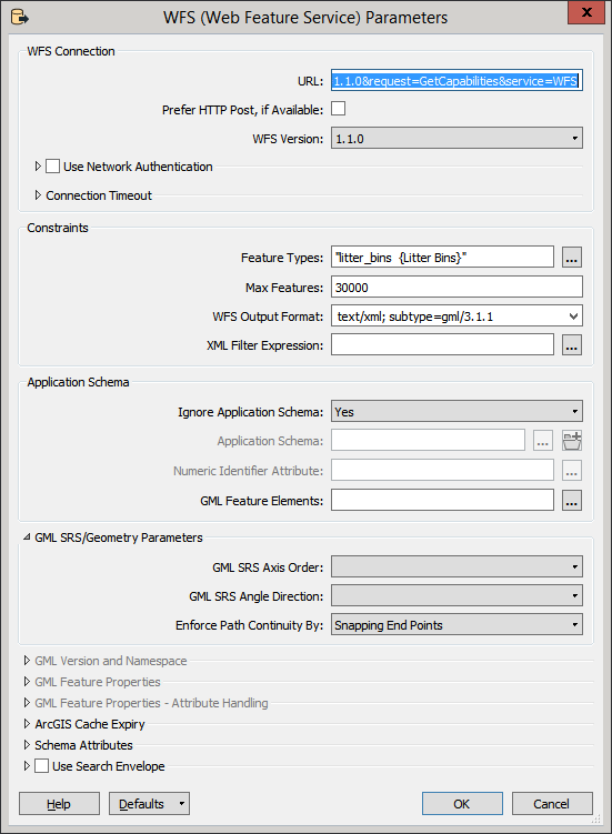
Would be grateful for some advice on this. FME is refusing to load any data from this WFS service. I can see the set of layers (get capabilities) from the service when I try to add the reader but when I select the data layer I need and hit ok the log is giving me the error below.
This WFS service loads vectors just fine into Qgis but not FME. Any help would be appreciated.
http://www2.guildford.gov.uk/ishare5.2.web/getows....
The top-level type definition referred to by the 'type' attribute in the element declaration is missing from the XML Schema
QName: 'ms:ogc_fid' | namespace uri:'http://mapserver.gis.umn.edu/mapserver'
QName: 'Integer' | namespace uri:'http://www.w3.org/2001/XMLSchema'
<element xmlns="http://www.w3.org/2001/XMLSchema" name="ogc_fid" type="Integer"/>


