Hi everybody ,
I'm trying to translate a V7 map from microstation to V8 microstation map and I have a problem :
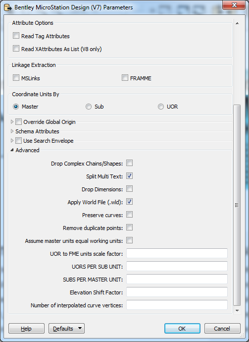
The elevations or heigths(Cotas in spanish) that in V7 ara a unique element , are translated to V8 like a diferent elements ( Text and lines).
Anybody knows how to translate from v7 to v8 the cotes like unique element ???.
Thanks in advance for your help , regards !!


