Hello,
We have incoming data from terrestial laser scanners in E57 format. My question is about reading/keeping point coordinates in spherical format as we write data back to E57. Problem is, that E57 reader seems not to read spherical coordinates in the first place.
In FME I'd be only renaming geometry names. The only reason why we want to keep spherical coordinates is use of Autodesk ReCap's RealView visualization mode.
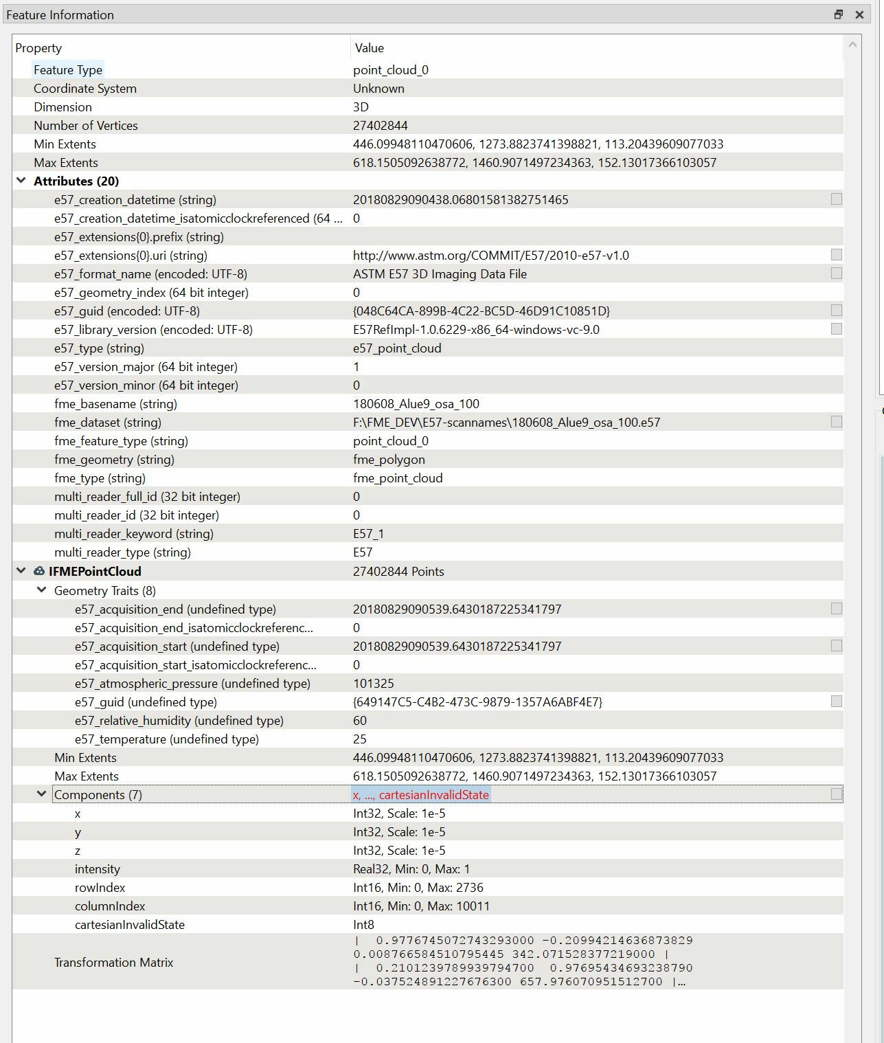
E57 reader only finds following components;
Components (7)
x Int32, Scale: 1e-5
y Int32, Scale: 1e-5
z Int32, Scale: 1e-5
intensity Real32, Min: 0, Max: 1
rowIndex Int16, Min: 0, Max: 2366
columnIndex Int16, Min: 0, Max: 10119
cartesianInvalidState Int8
Reader does not show more components to be available.
Inspector view:

The same cloud is recognized to have spherical coordinates in ReCap. I've tried with two different scanner data on FME 2019.0 19238 with same results.i
How could I debug this data with FME to read spherical coordinates?


