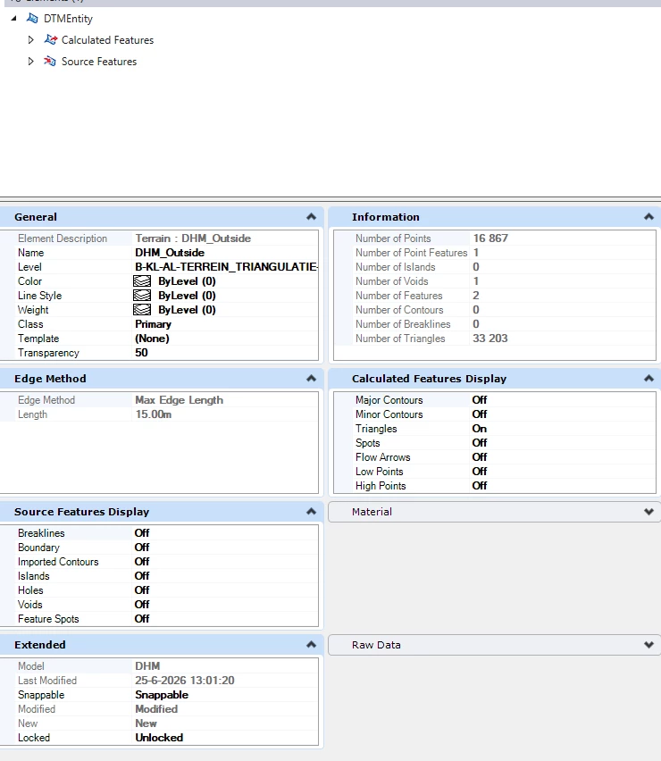



I'd like to read a DGN file, which contains a terrain model. In version 2025.1.2 it is being read as igds_polygon_collection. The fme_Geometry is “fme_undifined” and the fme_type is “fme_no_geom”.
When using a Civil 3D file, it can read a surface model, which is the same principle as the terrain model in a DGN. The terrain model is created in OpenRoads.
Or is another option available to read the terrain model directly from a DGN file without converting it to another fileformat or element type?