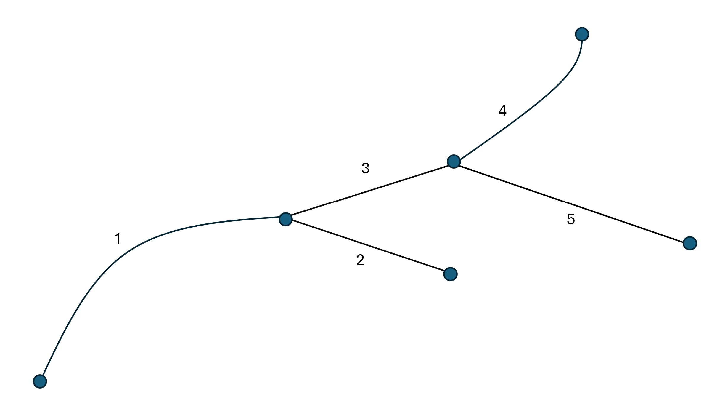
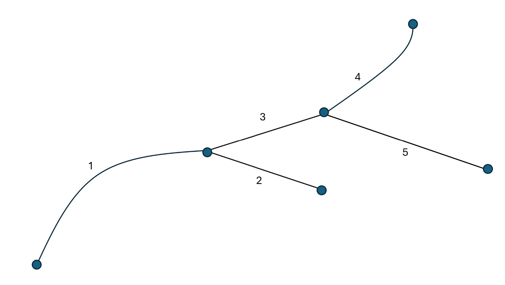
I’m currently working on a project in relation to building a major road network which can be used for future traffic surveys. I’ve hit a snag where I’m trying to find potential way of detecting branches within the carriageways so that we can set a condition that should the branch be longer than 500 metres, then we need to separate this branch as its own features. What I’m struggling with is trying to detect the branching by applying unique identifiers (e.g. integer values) if branching occurs within a connected groups of features, something similar to the below:
Essentially, I’ve built a two-way road network using the Ordnance Survey road network data and I’ve merged the road sections based on their connectivity (using the [NetworkTopologyCalculator] and [LineCombiner] transformers) and also depending on their ownership (i.e. locally owned vs centrally owned roads) and their road classification number (e.g. A303, A1(M) etc.). Within each of these merged features we need to work out if there exists any branching/forking so that we can separate these features even further, provided our 500-metre condition is met. Does anyone have any idea how I can do this?