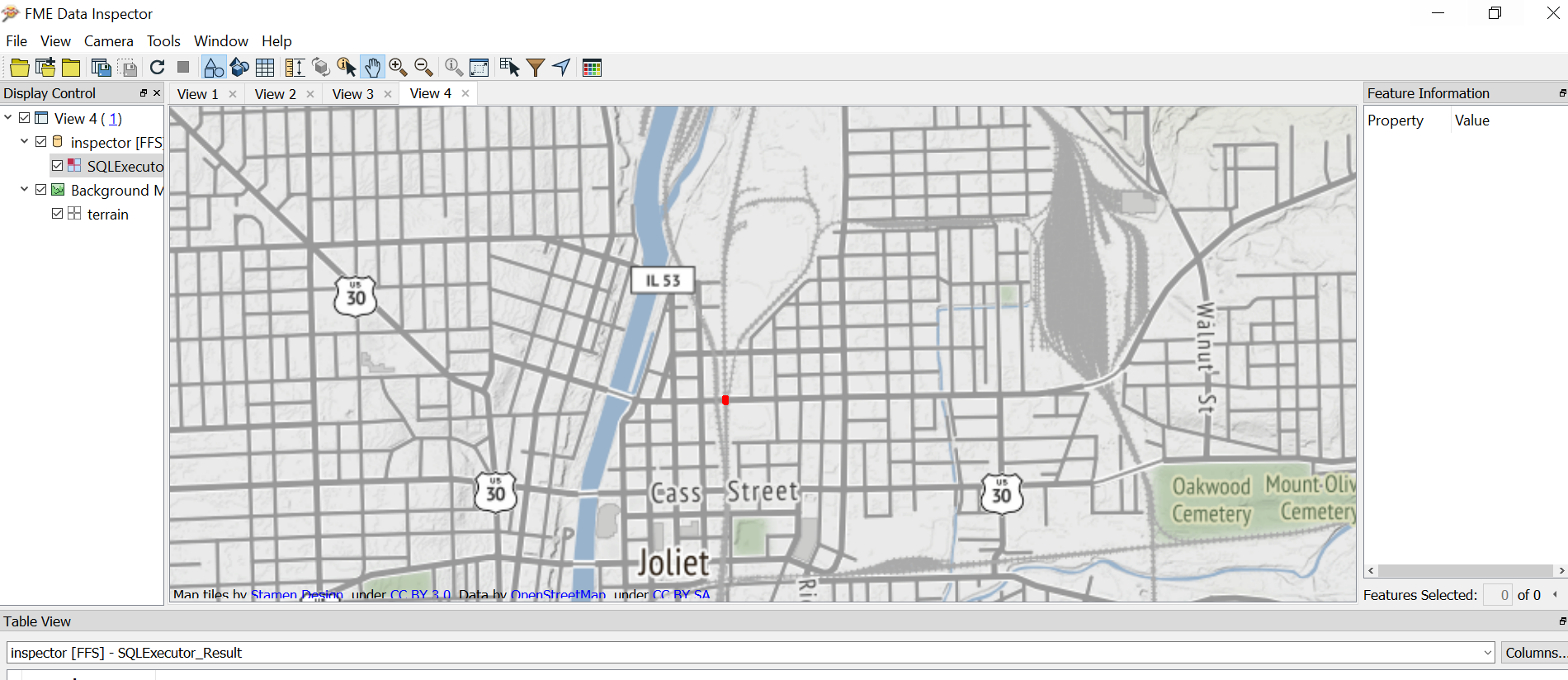
Hello, I have features with geometries stored in a db. My process is manually currently:
1. Reading the features from db and displaying on inspector with a background map.
2. Open Google maps. Find the feature on google map. (for the example in this screenshot, it should be something similar to https://www.google.com/maps/@41.533164,-88.0750639,15.5z )
3. Copy google map url (which is showing the respective feature) to an excel file. This excel contains all features id and their google map url.
I would like to automate the process. Is this possible in FME?
Or is there any way to locate automatically the features on google maps?


