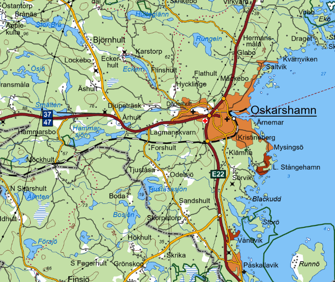
It could be that the original PDF (or rather the raster that's in there) is using indexed colors rather than RGB, I don't have a copy of FME handy at the moment so I can't try this out, but if memory serves me well the RasterPaletteResolver is the one to try.
Has the PDF image got an alpha channel that the GeoTIFF doesn't? Unlikely, but if the entire map is consistently darker, then it's possible.
The PDF does have an alpha channel, I removed it but same problem. Apparently the PDF has a color space that isn't standard, which could be the cause...
It could be that the original PDF (or rather the raster that's in there) is using indexed colors rather than RGB, I don't have a copy of FME handy at the moment so I can't try this out, but if memory serves me well the RasterPaletteResolver is the one to try.
Good thought, but the PDF is a four channel RGBA.
It looks like the color management properties in ArcGIS Pro was the culprit. I changed the "Color conversion rule" (under project settings) to "preserve color values" and everything turned out fine.
Good to know!