Hi,
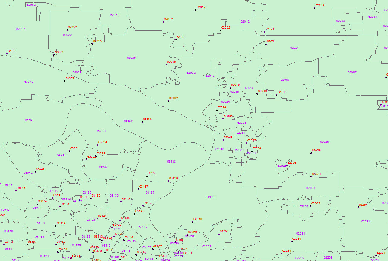
One of the things I currently have to work on is checking if points from an Arc shapefile are within their proper postal code. I normally have to check this visually, but a coworker suggested I may be able to do this check in FME but he doesn't use it so could not really give any input as to how to do it.
Basically, there are points that have a postal code assigned to them in their attributes and polygons that outline those postal codes.

Looking at the software I was thinking this would be done with the PointOnAreaOverlayer transformer but I cannot figure out how to tell it to check if, for example, the point with postal code 62025 is inside the 62025 polygon.
Any help with this would be greatly appreciated.
Thank you.


