


Question of the Week: How did you first get into using FME? (Bingo Square 23)

  • August 24, 2026
  • 5 replies
  • 30 views

creeatsafe
Safer
Forum|alt.badge.img+14

Welcome back to Question of the Week! This week we want to know...How did you first get into using FME? Whether it was a college course, a job requirement, or pure curiosity, we want to hear your story! Optional: Share a photo (your first workspace, your team, a throwback picture — anything goes).

In case you didn’t know...we're running a BINGO contest this month! 🎉 There are 3 Questions of the Week total (August 10, 17, 24). Answering each one earns you a square on your card, as noted in the post title. 

Drop your answer below and you're one step closer to BINGO! 

New to the Question of the Week?

Each week, we post a simple but thought-provoking question. It might be about your FME journey, the power of spatial data, FME innovation, or even a little something personal like this one.

Every answer you share earns you an entry in our monthly draw for exclusive Safe swag (a $50 value) - plus points toward community badges!

🗓️ Answer all of this month's Questions of the Week by August 31st at 5:00 PM PDT to be entered into the draw.

🎖️ Answer your first question to earn the Socializer (Ice Breaker) badge — and keep it up to reach the Socializer (Talker) badge after five answers!

5 replies

jferrer
Contributor
Forum|alt.badge.img+12
  • Contributor
  • August 24, 2026
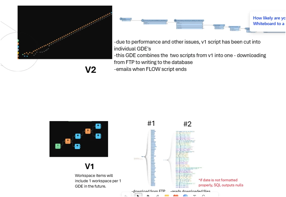
This is a screenshot of my old notes: What our stuff looked like at the very start.

When our director joined the branch, he brought a strong geospatial perspective and introduced us to FME. These were some of our earliest workflows: a lot of learning, trial and error, and figuring things out as we went.


j.botterill
Evangelist
Forum|alt.badge.img+66
  • Evangelist
  • August 25, 2026
 

I started out in the 2010s in natural resources - mineral exploration where GIS often starts with a small team managing large volumes of spatial data, often in MapInfo TAB format. As exploration programs expand, scientists, geologists, hydrogeologists, mine planning and environmental specialists all need access to the same authoritative spatial datasets, creating pressure to move beyond desktop-based files and into enterprise systems. 

Initially, FME was introduced as a practical way to automate the conversion of MapInfo datasets into Microsoft SQL Server Spatial. What began as a simple migration project quickly demonstrates broader value. The next phase saw the adoption of Esri Geodatabases to support enterprise GIS capabilities. FME was again used to bridge systems, migrating and synchronising spatial data from SQL Server into ArcGIS Enterprise geodatabases with domains, subtypes, relationships, and business rules.

Over time, FME has become embedded in almost all of my daily GIS operations. The platform enables repeatable ETL processes, quality assurance, change detection, and governance controls that allow many business units to access trusted spatial data


yuyan
Contributor
Forum|alt.badge.img+8
  • Contributor
  • August 25, 2026
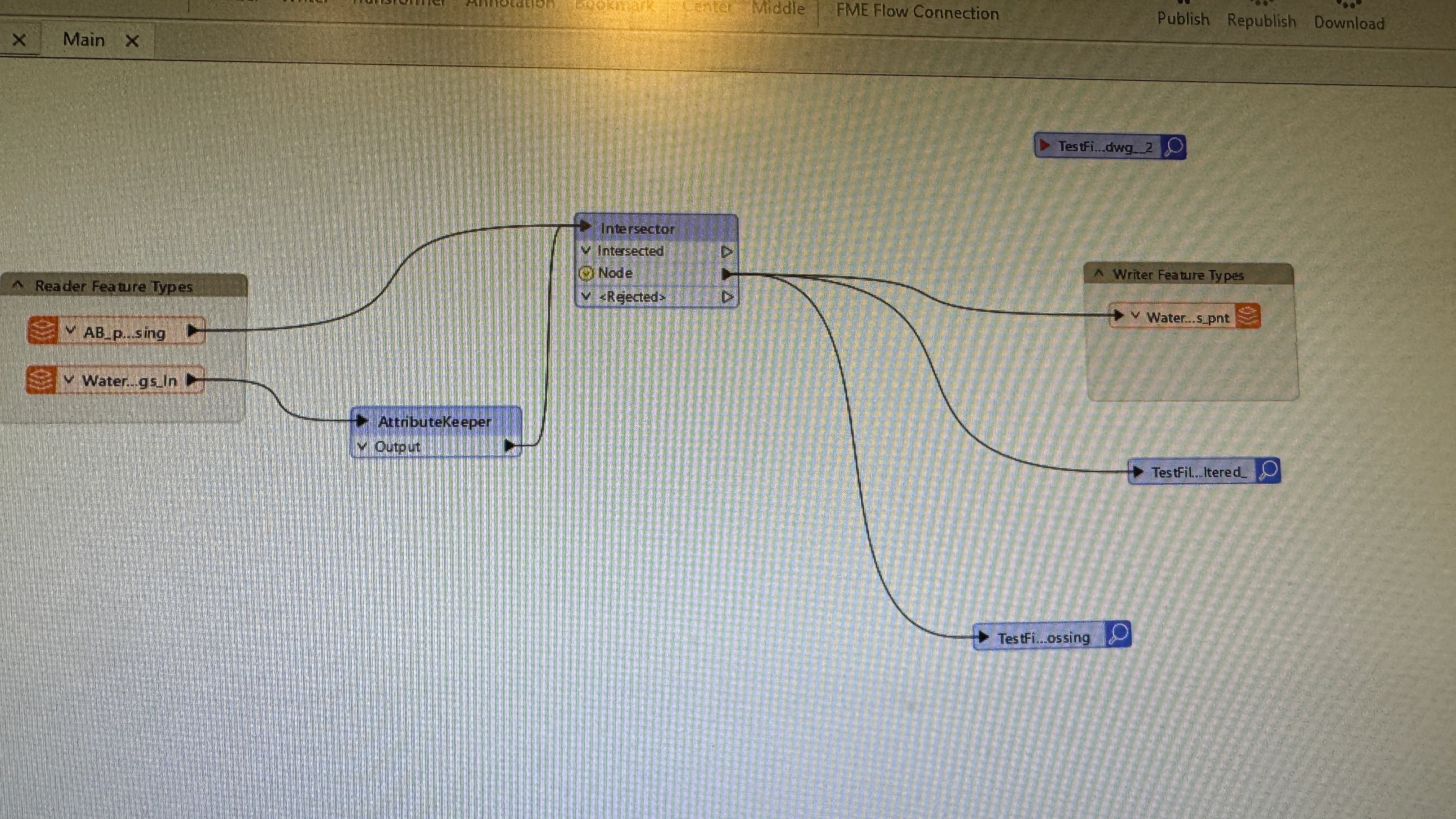
  • I do topographic map data conversion, and I need to start building a geodatabase from DWG-format topographic maps.

danii
Contributor
Forum|alt.badge.img+24
  • Contributor
  • August 25, 2026

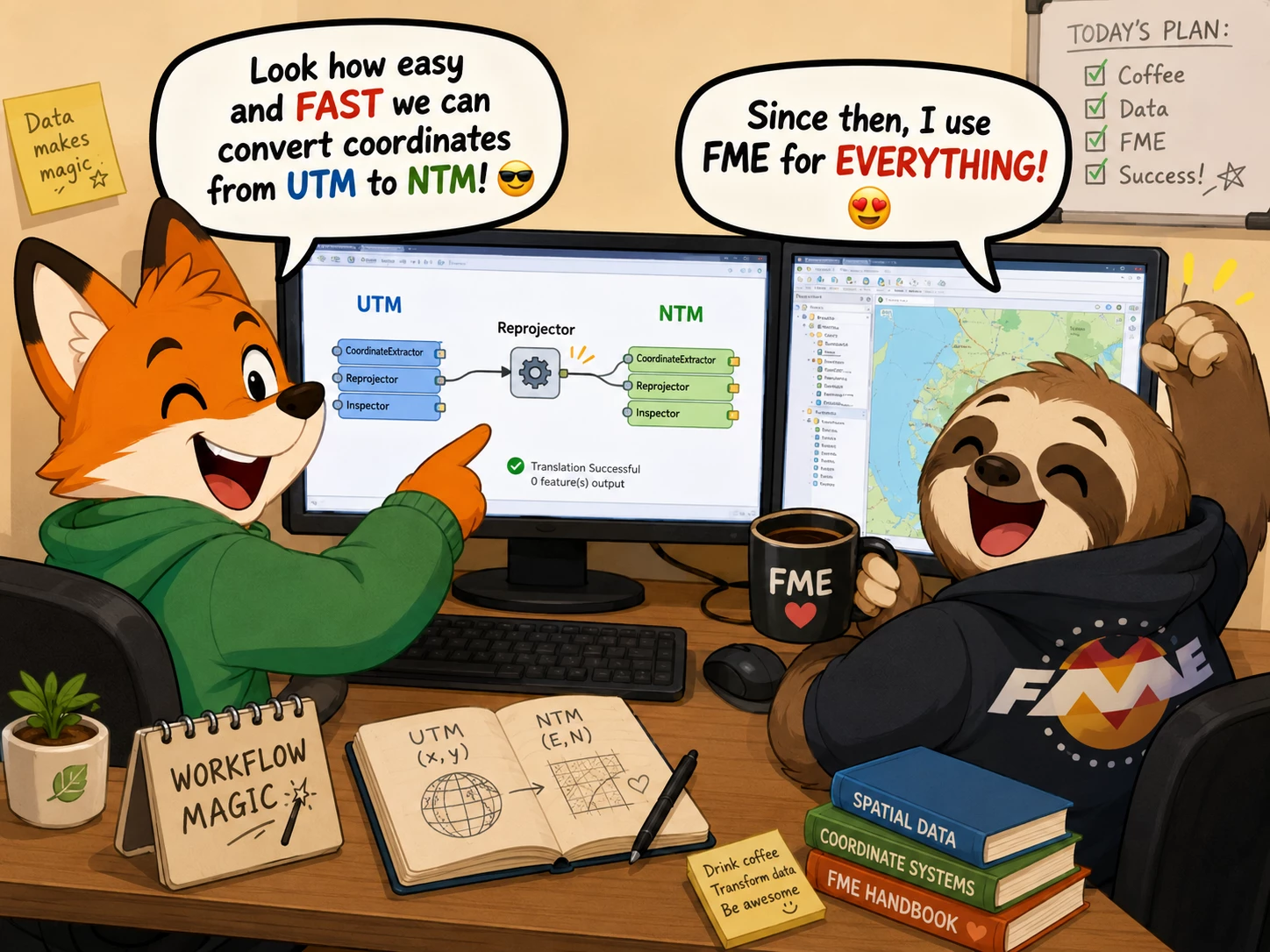
By a colleague who showed me how easily and quickly we could convert coordinates from UTM to NTM. 😎 Since then, I’ve been using FME for everything. 😍


geomancer
Evangelist
Forum|alt.badge.img+67
  • Evangelist
  • August 25, 2026

My colleagues and I knew about FME, but we needed a good reason to convince the boss to purchase FME. Once we had that reason, the purchase was arranged in no time.

Unfortunately, I don't remember that reason now...