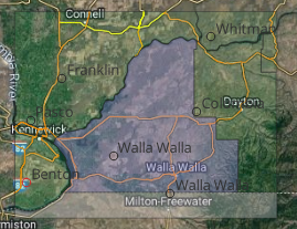
Hi everyone, I'm trying to convert a PDF file containing geographic data into a shapefile format using FME. There is a lot of work that has been going on in the recent past on this, and even I had tried a few online tools, QGIS plugins and now playing around with FME using a few transformers.
Actually, my spatial pdf file has the transmission lines network that includes transmission lines, substations and the geographic region with text information provided that represents the points and lines on the file with a descriptive legend.
Since I couldn't efficiently work with that file as it is 15Mb and has around 800k entities, I am working on a sample pdf.
Can someone guide me through about what concept can be applied to perform this?
Thank you.
Attached:
wallawalla.pdf: sample file
ERCOT: Practical file


 Desired result would be a georeferenced(in 3857) geopackage file with geometry and corresponding attribute values.

