


Hello All,
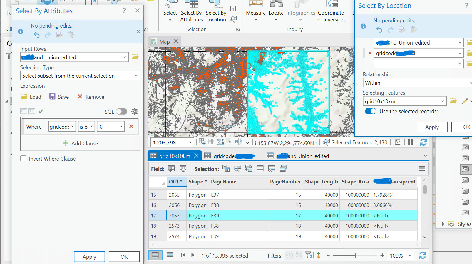
I want to complete this in FME similar to how I did it in ArcPro below using Select by Location
- Calculating the percentage of area in each Grid
- Determine the number of pixels within each grid
- Calculate the % of areas within each grid by dividing the number of pixels by 111 111 and multiplying by 100
- Generate the density map with density classes: 7 categories
- Example: if the grid has 35 000 pixels, then the percentage is 31.50%
thanks!


