Hi everyone.
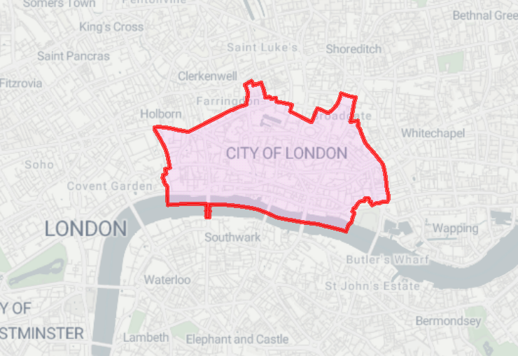
I need to display an outline of GIS data on a basemap that runs in a Flow app. For example, an area shapefile. This is to display the area of operations, as a starting point when using the app, and the users will then select areas within that area to grab other data (addresses and statistics etc).
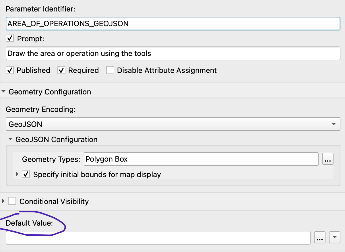
I’ve been working through this: Using the Geometry Parameter – FME Support Center to get a workspace built and published to Flow. But how do I ensure the outline of the area of operations is displayed from the very start?
I am a bit of a noob when it comes to Flow apps, so please do not worry about over-explaining anything: I need all the help I can get!
Many thanks in advance.
Stu