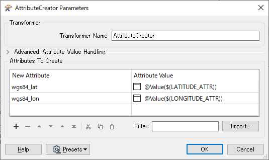
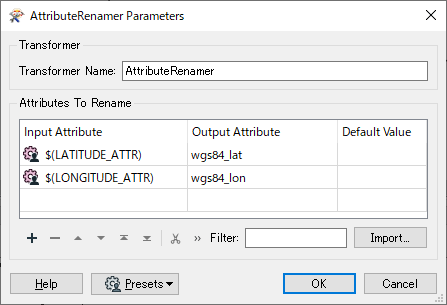
I want to read different csv files that includes coordinates and do some calculation with this coordinates. The attribute names differer from file to file: x, y or a, b or lon, lat ... The calculation is the same for all input files. I have created internal names for the coordinates like wgs84_lon and wgs84_lat. I want to create parameters to let the user assign which attributes in the source csv includes the values for wgs84_lon and wgs84_lat like
x >>> wgs84_lon
y >>> wgs84_lat
I have used an dynamic csv reader and tried to use the AttributeCreator and publish some of its parameters but this did not work for me :-(
I am looking for a solution that works with FME Desktop and FME Server.
Can anybody help me?


