 Hello,
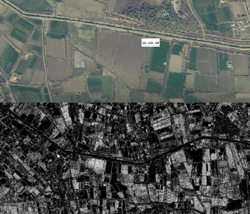
I have a satellite raster in GeoTIFF format and am trying to generate a grey8 image for selected RGB colours. Similar to what is in the attached image. Above is the RGB satellite image and below is a grey8 image for the selected RGB values with a "falloff" or "threshold value" similar to the photoshop selection filter.
I tried RasterExpressionEvaluator and the examples to give me some ideas but I'm not able to make it do what I want.
This video shows the exact output I am trying to achieve - https://www.youtube.com/watch?v=Ha3HdYBzU_Q
Ideally, I would like to split an RGB image into "n" most common colours using a "falloff" value, and export them as a greyscale "mask". Then I would import them as a blended texture in unreal engine.
Appreciate any help!
/Sanjay


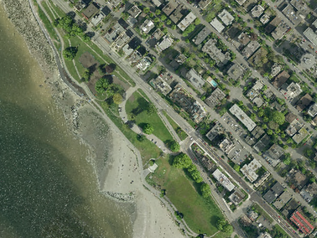
 Source Orthophoto:
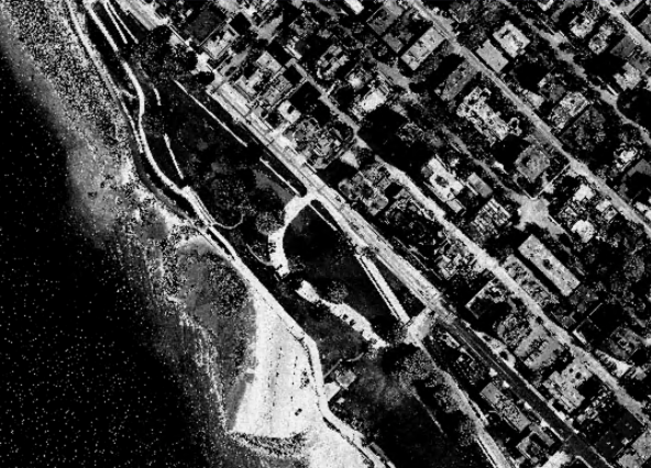
 Result with target color set to 171, 176, 150 (grey pavement) and falloff set to 0.26:
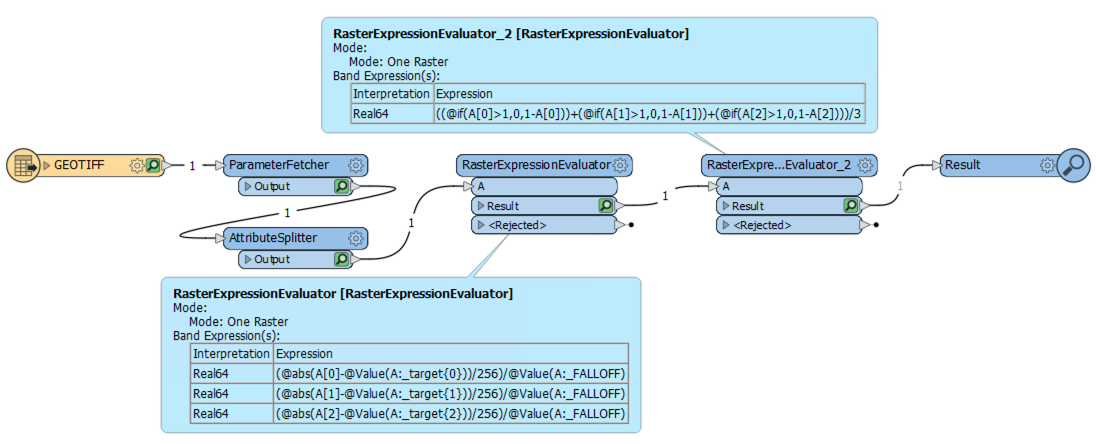
 The attached workspace uses a color picker parameter to choose the target color, and range bar to choose the falloff.