Hi,

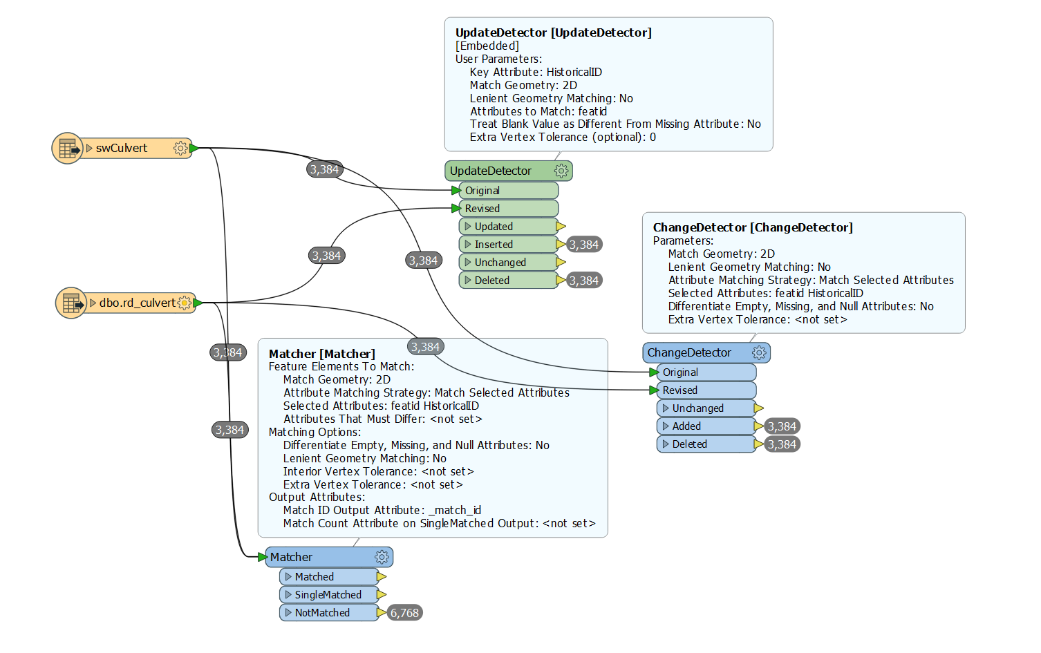
I created a geodatabase from SQL database. I have to create a workbench that the user will be able to edit the SQL database and apply the changes to the geodatabase by using the workbench. I am trying to detect the differences between SQL table and the related feature class which have the same data, but UpdateDetector, ChangeDetector, or Matcher do not give the correct answer. I also change the lenient geometry matching and treat blank value as different from missing attribute. No difference. What is wrong?

Hi @canerakin111, most likely the situation is caused by the difference in accuracy of coordinates between the two data formats. It's worth to try apply the same precision to all coordinates of features read from both datasets using the CoordinateRounder transformer.


Hi @canerakin111, most likely the situation is caused by the difference in accuracy of coordinates between the two data formats. It's worth to try apply the same precision to all coordinates of features read from both datasets using the CoordinateRounder transformer.

Hi Takashi, I tried coordinateRounder and set the precisions to same values and tried for different variances but still doesnt work. I also tried to remove all other attributes and keep only matching ones. Still couldnt get the correct result.


Reply