I want to resize an image. Per example 1000*1000 pixels to 200*200 pixels.
I tried RasterResampler, but I only get a degradation of the image, with the same size.
Is there a way to do that?
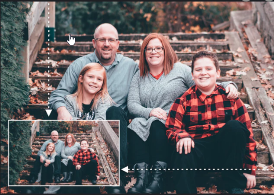
This is not my family : legacy from Google Images.
In M$Paint I would use this.
Best answer by daveatsafe
Hi @philippeb,
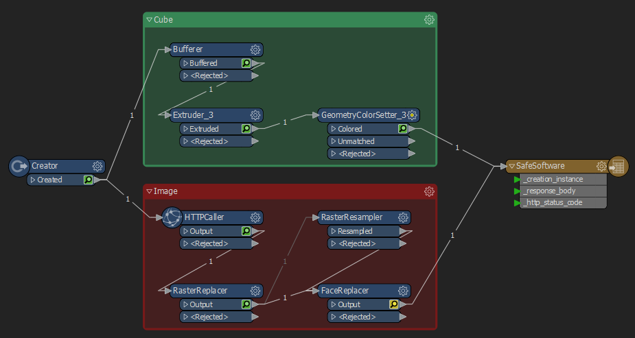
Please set the Interpolation Type in the RasterResampler to Bicubic. This setting gives the best results for photos. The default Nearest Neighbor works best on elevation models.
Please note that the extents of the image in Data Inspector will not change, since the georeferencing was created when the image was read, and is not changed by the resampling. The pixel spacing will change to reflect the new pixel size, though. This georeferencing will be discarded if you write out to a non-geographic format, like PNG, JPG or TIFF.
This post is closed to further activity.
It may be an old question, an answered question, an implemented idea, or a notification-only post.
Please check post dates before relying on any information in a question or answer.
For follow-up or related questions, please post a new question or idea.
If there is a genuine update to be made, please contact us and request that the post is reopened.
Please set the Interpolation Type in the RasterResampler to Bicubic. This setting gives the best results for photos. The default Nearest Neighbor works best on elevation models.
Please note that the extents of the image in Data Inspector will not change, since the georeferencing was created when the image was read, and is not changed by the resampling. The pixel spacing will change to reflect the new pixel size, though. This georeferencing will be discarded if you write out to a non-geographic format, like PNG, JPG or TIFF.
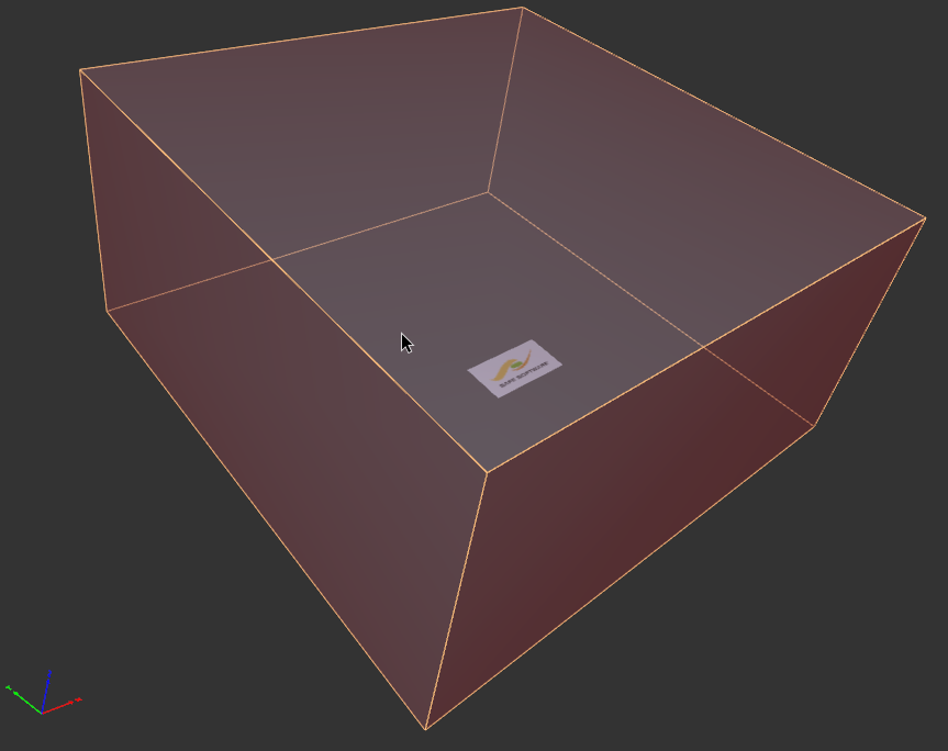
Good, it works perfectly with JPEG. Do you think it would be possible to write the resized image into a 3D PDF ?
So I'm now able to write an image into 3D PDF. I just learned another transformer. Thank you :)
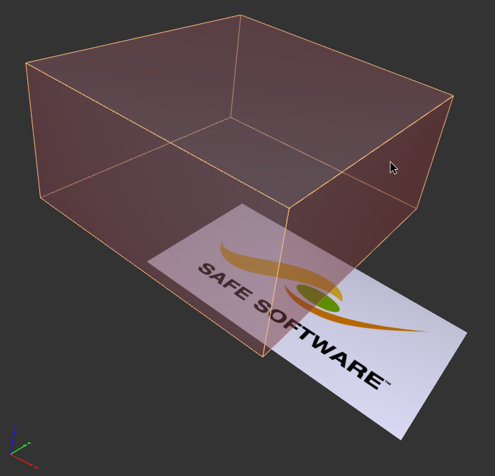
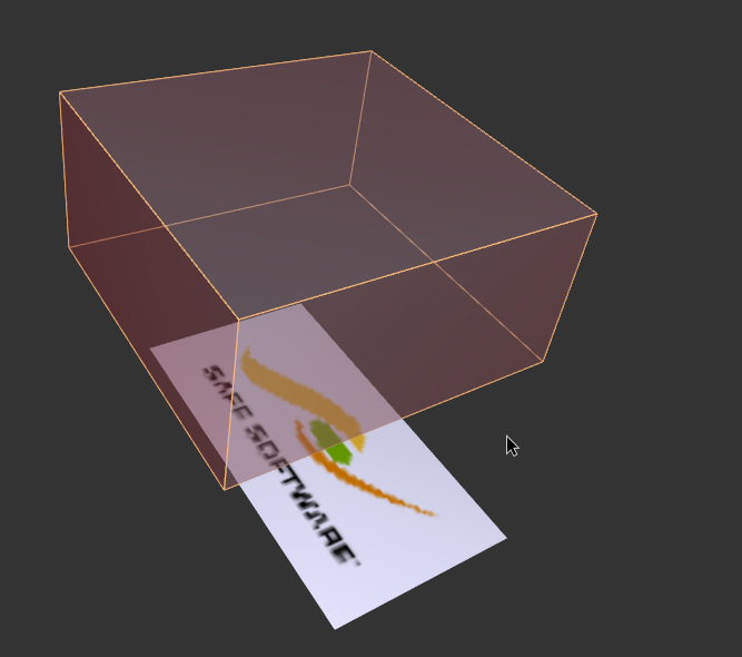
But when I resize the image, it only degrades the quality. Nothing else is happening, as you can see.
This is my workbench, but I put it in attachment.
Hi @philippeb,
Whenever an image is created or read into FME, it is is given a georeference to tie it the world. If this cannot be read from the source data, a default georeference is created, with 0,0 at the upper left corner of the image and a pixel size of 1.
Resampling the image will change the number of pixels in the image, but not the georeference location of the image. This is good if you are creating a lower resolution aerial image, since the image corners remain in the same location.
If you want to change the extents of the image as well as the resolution, you can use the Scaler transformer after the RasterResampler, with the X and Y scale factors set to 0.2, and Z Scale left at 1.
A Scaler before FaceReplacer, exactly what I needed! Thanks a lot!!


")