Question

Problem with IFC to GDB transformation (Positioning)

  • 9 January 2021
  • 4 replies
  • 25 views

Hi there, I have been using FME mostly for basic spatial and non spatial transformations, However this is my first time dealing with BIM formats.

The case is that I am trying to transform an IFC file (extracted from a Sketchup project and georeferenced from a topographic survey) to a ESRI File Geodatabse (File GDB).

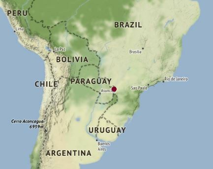
Checking in Data Inspector, I noted the feature position is in Kara Sea, near the north pole, when It is supposed to be in the southern hemisphere, in Chile.

Anyway, I generated a direct workspace and runs fine in the Workbench, and in ArcGIS I confirm the the same result of Data Inspector. Then I tried to reproject It to ArcGIS coordinate system; removed the original coordinate system and tried to set another one but I could not be able to match the proper position in both ways. What could I do to match the BIM file in the desired position?

I have a point feature class with the coordinates of the BIM features, taken from a field survey. I can't edit or modify the IFC file (I am not Revit/Sketchup user, I only have control in FME and ArcGIS)

I will attach a screenshot of the IFC file with the coordinate system and Its position in Data Inspector.

I have already check the BIM, CAD and 3D webinars, documentation, worskpaces and similar questions in the forums but I am still stuck n the process, so I will appreciate any recommendations or suggestions to deal with this case, best regards!

First thing I notice is your XY are positive. They should be negative. That puts the point in Paraguay.


Capture 

Is that roughly the right position even though you say it's in Chile?


First thing I notice is your XY are positive. They should be negative. That puts the point in Paraguay.


Capture 

Is that roughly the right position even though you say it's in Chile?

Hi @jlbaker2779​ 

Thanks for the reply, exactly, I am in Chile, even though, at least now It is located near to Chile with your advice. The source coordinate system is WGS84 latitude/longitude, but It seems was extracted from a projected coordinate system (UTM I guess).


The fact is that I am trying to maintain the original IFC file as much as possible (not Revit or Sketchup edits). I have already the points and area where It tis supposed to be the BIM features in ArcGIS, but It has been giving me errors trying to locate them in the proper position.

I ran those coordinates through every projection and only 2 out of the 8,000+ put a point in Chile. One was for Japan and the other was for Egypt. I doubt either one of those are correct.


Your best bet is to have the data re-exported because it seems like something went wrong at that point.


Thanks @jlbaker2779​ , yes, It seems a problem with the original coordinates extracted from the IFC file. I will ask for the re-exported file, best regards!


Reply