Hello,
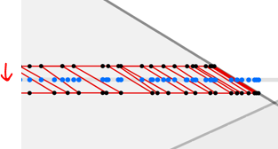
I have a workspace that joins measures from lines to points using a neighborfinder, pointonlineoverlyer and measureextractor. The purpose of this is to identify the linear reference of each point along a line (ie distance along a line).
Rather than do this separately for each point, is here a way of using a point cloud to append the measure for each point in one go and speed things up?
Even though the points are in 3d im just interested in the perpendicular/plan reference.

Thanks,
Owen

