I have a LAS file of vegetation (trees) and a DEM(terrainmodel). I want to create a raster file of the LAS file and use rastercalculator to get tree height above ground and zero values where trees a abscent.

The result would be a raster with z height in cells(2m*2m) and null values where trees are abscent.

The raster calculation would be: vegetation raster(z, above sea level) - dem terrain model = tree height (z, real tree height) in 2m*2m cells

I don´t want to make a DEM of the LAS file since DEM is a interpolation. I just want to make a raster

I can´t use the raster calculator since my raster from LAS(tree files) have null values.

I have been using a lot of transformers without sucess
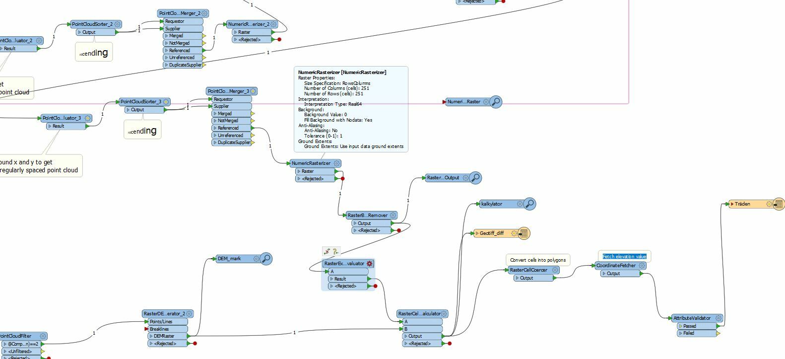
Why is that?

Hi @tobiasrydlinge,

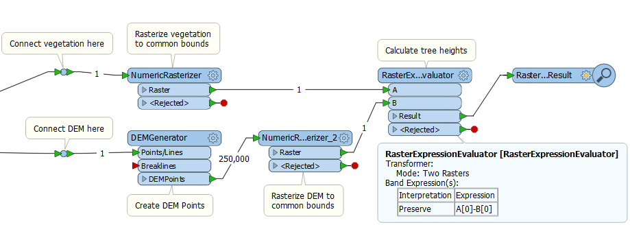
The RasterExpressionEvaluator will give you solution you want, in the two raster mode, using the expression A[0]-B[0]. This assumes that the vegetation raster is connected to A and the DEM raster is connected to B.

However, the RasterExpressionEvaluator requires that both rasters be the same size. To achieve this, both rasters should be created using the NumericRasterizer, with the pixel size and bounds.

The DEM data is sent to the DEMGenerator, which will output points at a 2m interval. These points are then sent to a NumericRasterizer to create the DEM raster, also at a 2m interval, but to the same bounds as the vegetation raster.

I am attaching a sample workspace (calctreeheights.fmw) to illustrate the process. It uses a source dataset from the FME Training Sample dataset, which can be downloaded here.


Reply