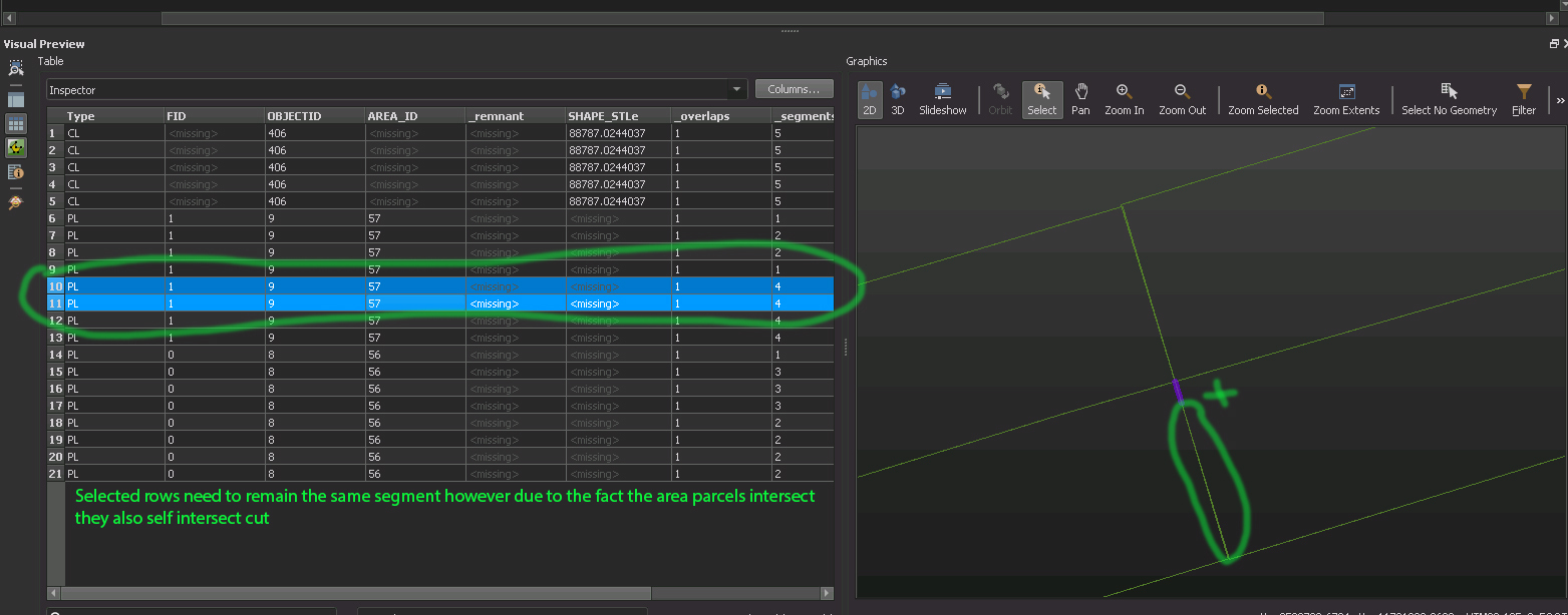
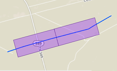
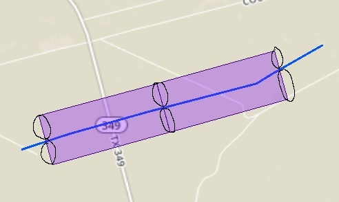
So I'm trying to intersect this centerline data with parcel data to return the length of the parcel line from the centerline to the edge of the property. In areas where none of the parcels intersect each other there is no issue however when parcels do intersect my length measures get split due to the self intersection that is going on. I've attached some sample data as a go by.
So I'm basically trying to figure out how to intersect the polygons turned into lines (desired output) via chopper based only on where the centerline cuts through the parcel line(s).


