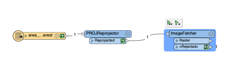
Are there any specific coordinate strings or bounding boxes to be created for the ImageFetcher to understand where to fetch from a URL? I.e. I tried to fetch from a XYZ tile server and it works flawless in QGIS. The same URL doesn't work with the ImageFetcher for some reason.

Question




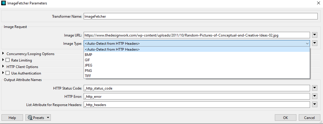 FME will download the image and read it in with the JPEGReader - you can see evidence of the JPEG reader in the log fie e.g.,