Hi, not sure where else to ask this (first time poster).
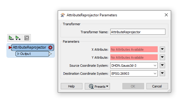
I have a large amount of coordinate data (only know the coordinates in Gauss-Kruger and the zone (zone 3)). Is there any way I can mass convert these coordinates to UTM?
I've been researching this all day and have came across a few helpful research articles and one finished with a website that was created by a team of researchers using R and Shiny software, but the link was dead and I don't have time to recreate their work.
I do not need to put them into a GIS, this data is being recorded in an rdb for analysis purposes, but is still very reliant on LOCIIDs.


