
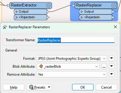
I want to generate a textured plane top-down projection from a mesh.
Like a raster equivalent for the SurfaceFootprintReplacer, which would derive a footprint polygon.
Is there a transformer for that use case?

 +6
+6I want to generate a textured plane top-down projection from a mesh.
Like a raster equivalent for the SurfaceFootprintReplacer, which would derive a footprint polygon.
Is there a transformer for that use case?
No account yet? Create an account
Enter your E-mail address. We'll send you an e-mail with instructions to reset your password.


 GeometryCoercer to polygon

