I am trying to find the elevation of the most prominent "peaks" in an area, but am stuck.
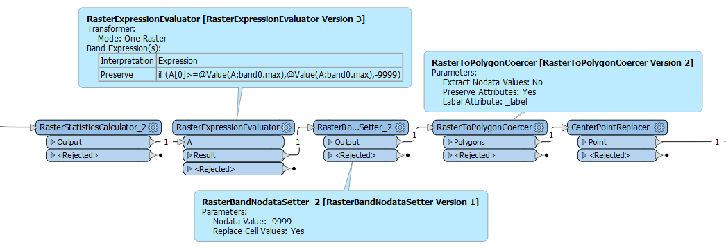
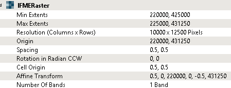
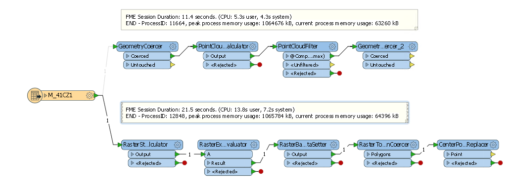
I have used a number of polygons to Clip a selection of mountains. These are in a raster DEM format. Now I want to find the highest point on each mountain, along with it's position. This will later be saved as a point feature.
Using the RasterCellCoercer results in an insane amount of data. I have tried to filter out the highest values before I proceed, but have not yet figured out how to do so.
The RasterBandMinMaxExtractor with a ListExploder gives me the highest value for each raster area, but I also need the position of this pixel.
Any suggestions on how to proceed? How can I get both the highest value, and it's location , without turning my computer into a toaster?


