Hello, Im working with this WMS:
https://service.pdok.nl/kadaster/netcapaciteit/wms/v1_0?
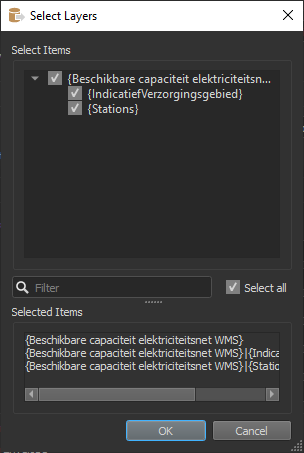
When I access it with a feature reader then it gives me these layers here:
 And when ran it just gives me a white area cover of where the data is in the world (right place and all, just no symbols).
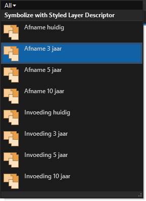
I am accessing the same data in ArcGIS Pro and there I can query "IndicatiefVerzorgingsgebied" based on symbology and see that it has some 8 sublayers:

So my questions are:
How can I query and expose these sublayers in FME and make them appear as something else than a white area coverage?
And bonuspoints if there are any ideas how to expose the feature specific attribute values as well, such as station, netbeheerder, status, totalecap... and so forth


