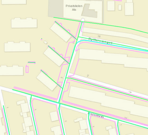
 I have a road network represented by a centerline (brown) and 2 edges (pink).
I am looking to create an area from it.
The network is rather complicated so linecloser->areauilder doesn't work. I then tried buffering the centerline, polygoncutter and spatialFilter, which doesn't really work for round-about and junctions.
At the moment I am trying to create cross-sections (blue) at a given sample dsitance, using neighbourfinder, which seems to work very well.
However, I can't figure out a way to create a hull-like area from the cross-sections. I am considering trying to write the vertices into a list and then to a polygon, but it feels overly complicated.
Does anybody have any leads.
I can provide sample data tomorrow.


 I suspect the best you can do with the data in it's current form is to buffer the road centerlines.