Hi,
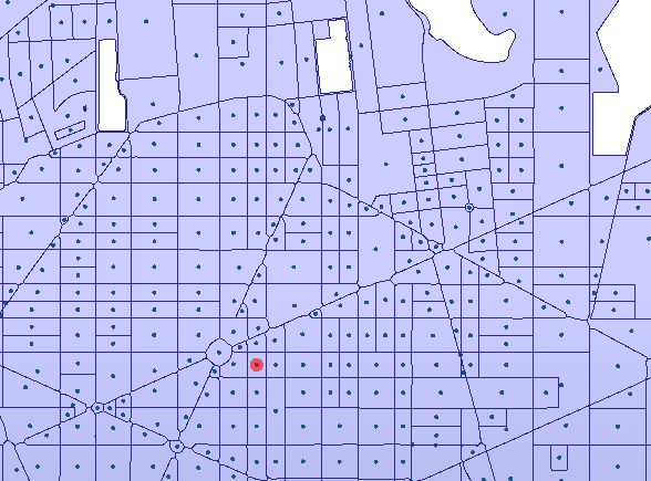
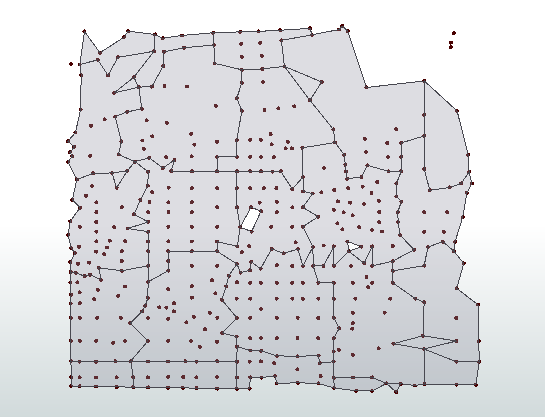
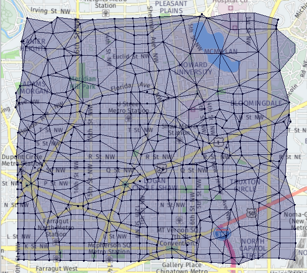
I have a set of polygons (representing the street blocks) from which I was able to create centroids. I would like to create a grid from those points, meaning that points would represent grid intersections. Have already tried with triangulation but had no success.
 If it is helpful I can try and upload a sample. I would really appreciate any suggestion. Thank you.
Edit:
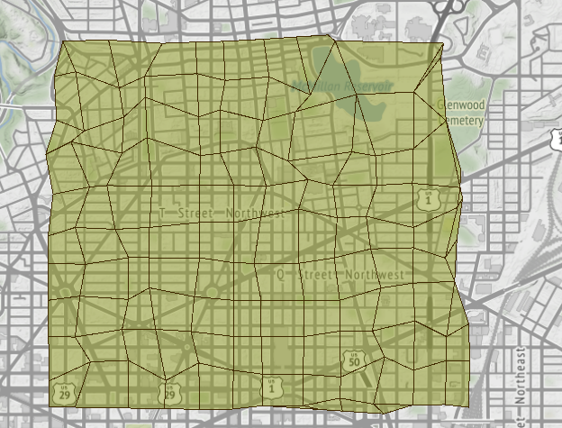
I believe I need to explain a bit more. In the current approach I am creating a "grid" based on the street centerlines and merge them with Neighbourhood Aggregator to 800x800m cells. The problem is that at the end grid borders are always on the centerlines (one side of the street is in one cell, where the other side of the street is in neighbouring cell).
 I would like to now try a different approach, where the grid borders would connect centroids of those blocks, this for example would be the output (red lines).
 Ideally, they would have a more rectangular shape, but not exclusively, it could also contain squares and triangles. In the end I would still merge them with the Neighbourhood Aggregator to 800x800m cells.
Perhaps a solution is in a different approach, cause in the end I would not like to have the grid borders on the centerlines. Perhaps there is just a way to shift borders for a few meters.

 Is there a way to make it more in a rectangular shape? I tried to play around with parameters, but no real success.


 Thank you!😀