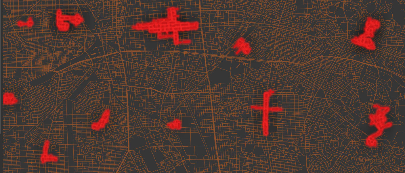
I would like to create clusters of line data (geometry) for sampling, the geometry would be connected within each cluster. So far I’ve thought of:
- Create a bounding polygon > split it into X polygons using Tiler or some other transformer > SpatialFilter. This would be the easiest I guess, but this would create dead ends at the geometry around the polygon boundary. Ideally, I would like a closed/self-contained ‘route’ but not really necessary.
- SpatialSorter > group every X rows. But I realize this doesn’t give a nice closed-off route either and you would have to manually see how many rows to pick to create a nicer cluster so probably better off with the first option.
Any better ideas? Additionally, it would also be good to be able to define a criteria for sampling like having X km of main roads and Y km of small roads in each cluster but I suppose that can come afterwards by calculating the counts per cluster and choosing clusters to hit the quota.