Hi Jamal,
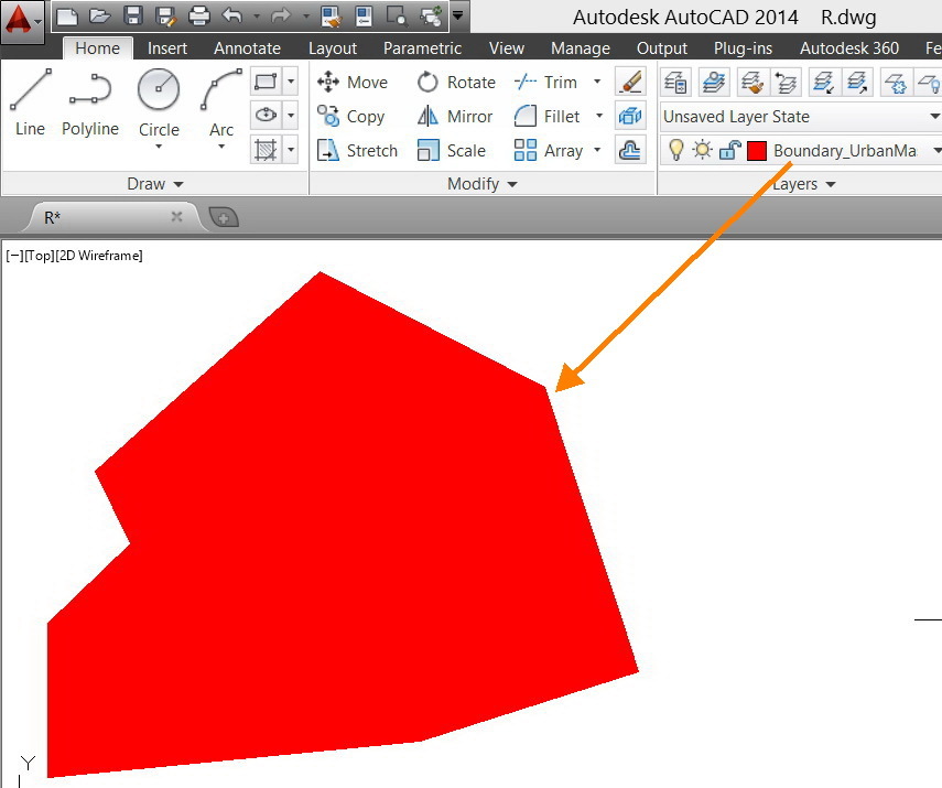
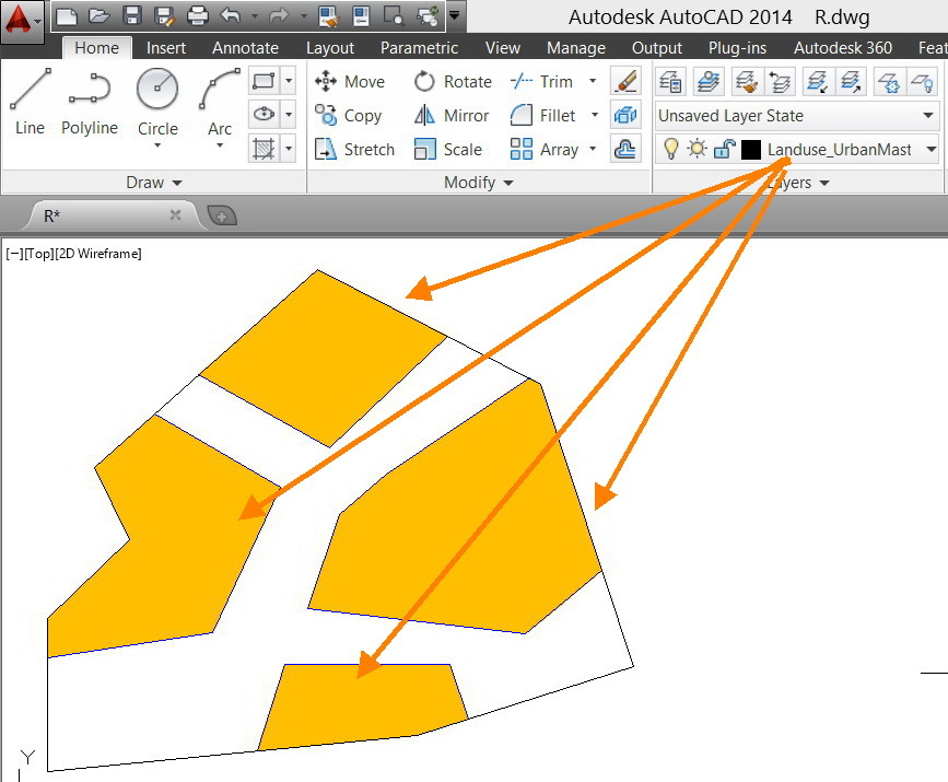
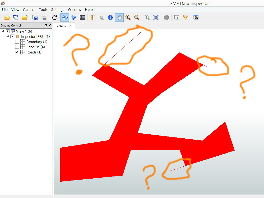
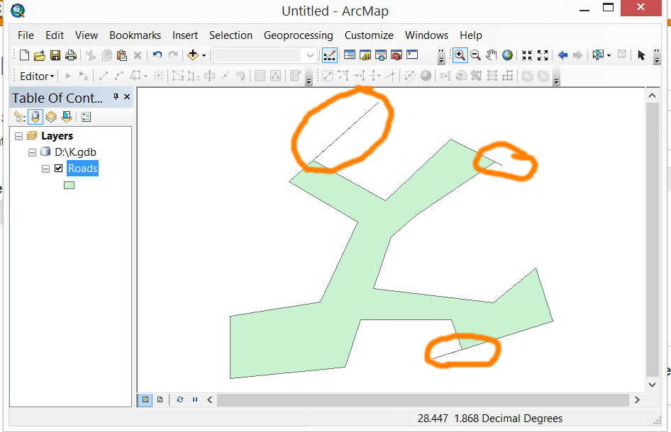
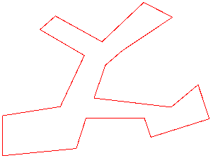
Probably such spikes were caused by the condition where boundaries of the Boundary and the Landuse are not matched exactly. I think that the result has reflected condition of the source data correctly.
If you don't like the spikes, try using the SpikeRemover to remove them. Alternatively, try shrinking the Boundary by a slight amount using the Bufferer before clipping.
Although modification might be possible, it depends on the requirement whether modified geometries are proper.
Takashi
Hi,
be aware that while some systems have a notion of precision (e.g. ArcGIS) and internally consider very close coordinates to be identical, this is not the case in FME, where the full precision is always used. This can lead to results as the one you're seeing here.
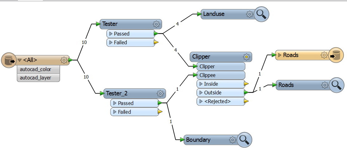
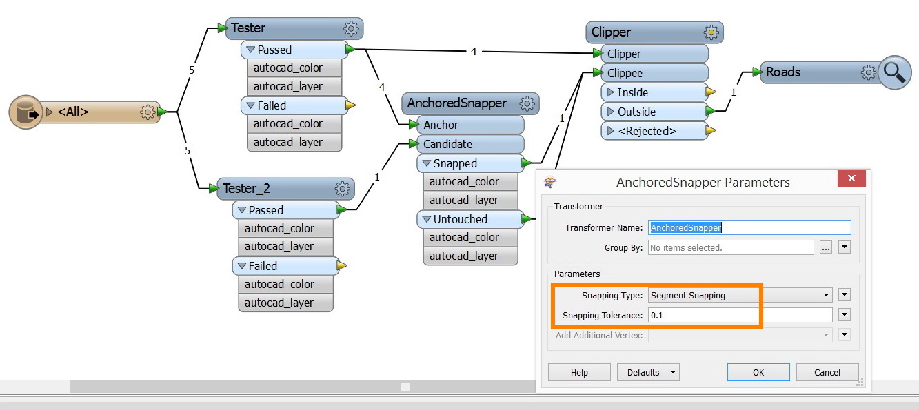
Rather than using the SpikeRemover (which might introduce other problems), I'd try to remove the inaccuracies before the Clipper. Try using the AnchoredSnapper with the Boundary layer as ANCHOR and the Land use layer as CANDIDATE. Set the snapping type to Segment snapping (2014) or Vertex snapping (earlier versions). Set the snapping tolerance equal to half your AutoCAD precision.
This will perfectly align both layers before the Clipper and should hopefully give you a perfect result.
David
Very much appreciated Takashi and David,
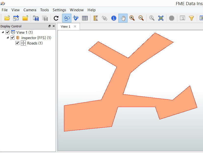
Perfect David. With the “AnchoredSnapper” the problem is vanished.